County Down · Tickets needed
Game of Thrones Studio Tour
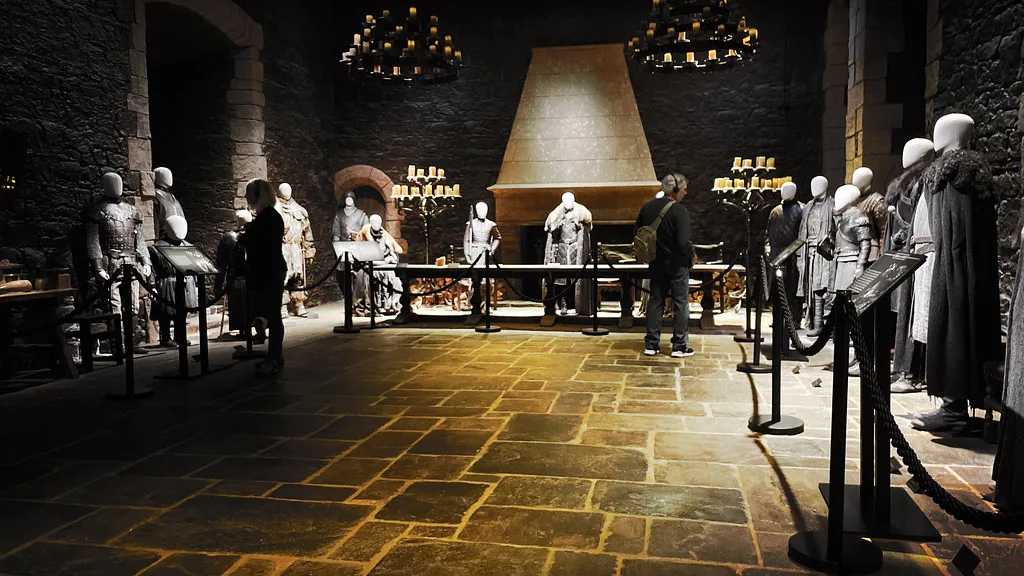
The original Linen Mill Studios, now showing the sets, costumes and props
See the locationOpen in Google Maps ↗Public places only
Every Game of Thrones location you can visit, on one map. Private homes, farms and working sites are not shown.
Pins mark the named public place or visitor entrance, not a camera position. Map data © OpenStreetMap contributors.
Accessible alternative
The original Linen Mill Studios, now showing the sets, costumes and props
See the locationOpen in Google Maps ↗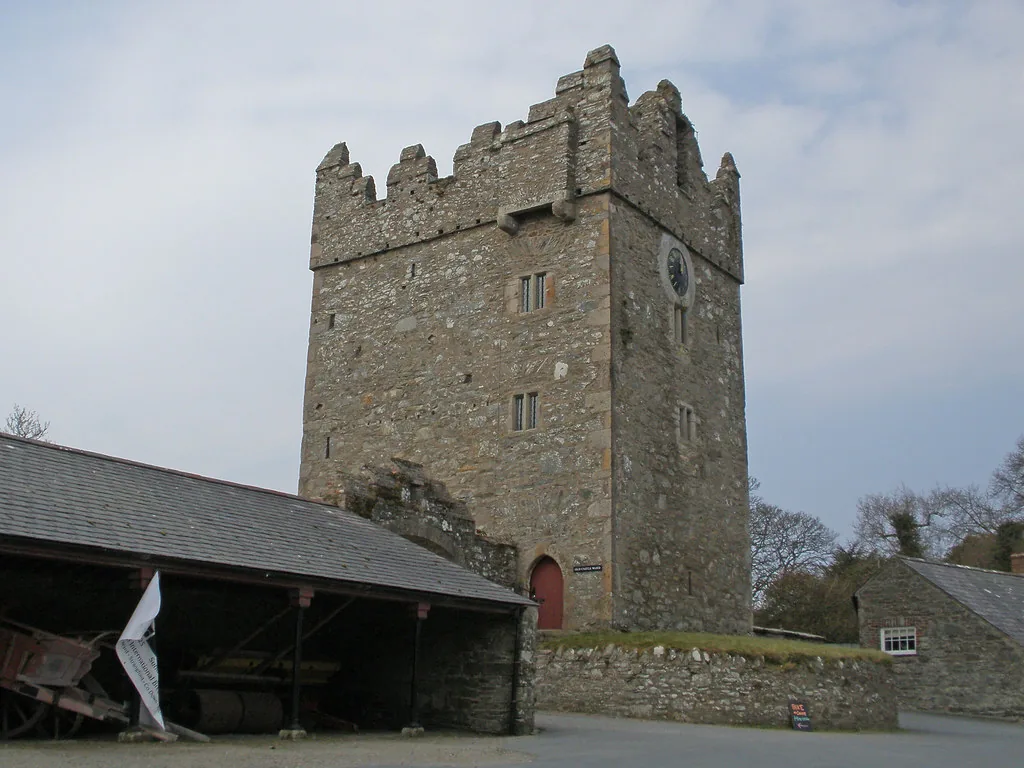
Winterfell courtyard; Robb's camp and the Whispering Wood
See the locationOpen in Google Maps ↗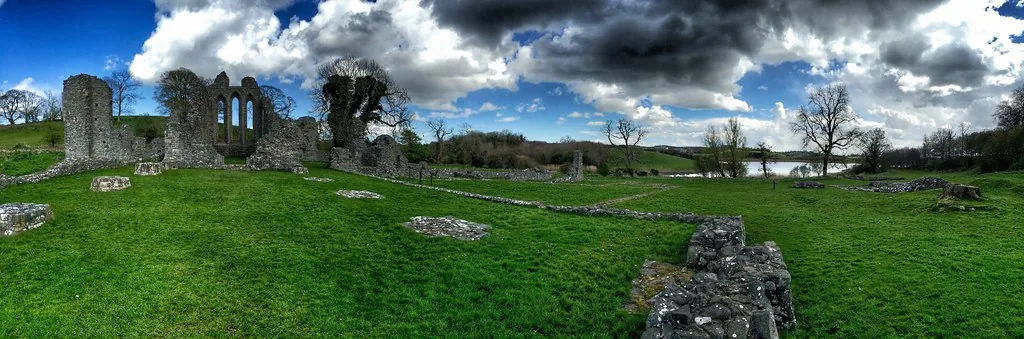
Robb's camp at Riverrun; the Tully funeral on the river
See the locationOpen in Google Maps ↗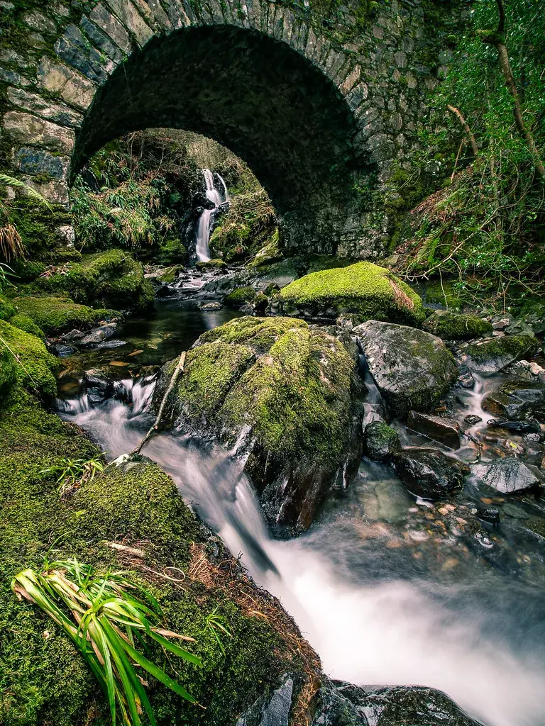
The Haunted Forest and the direwolf discovery
See the locationOpen in Google Maps ↗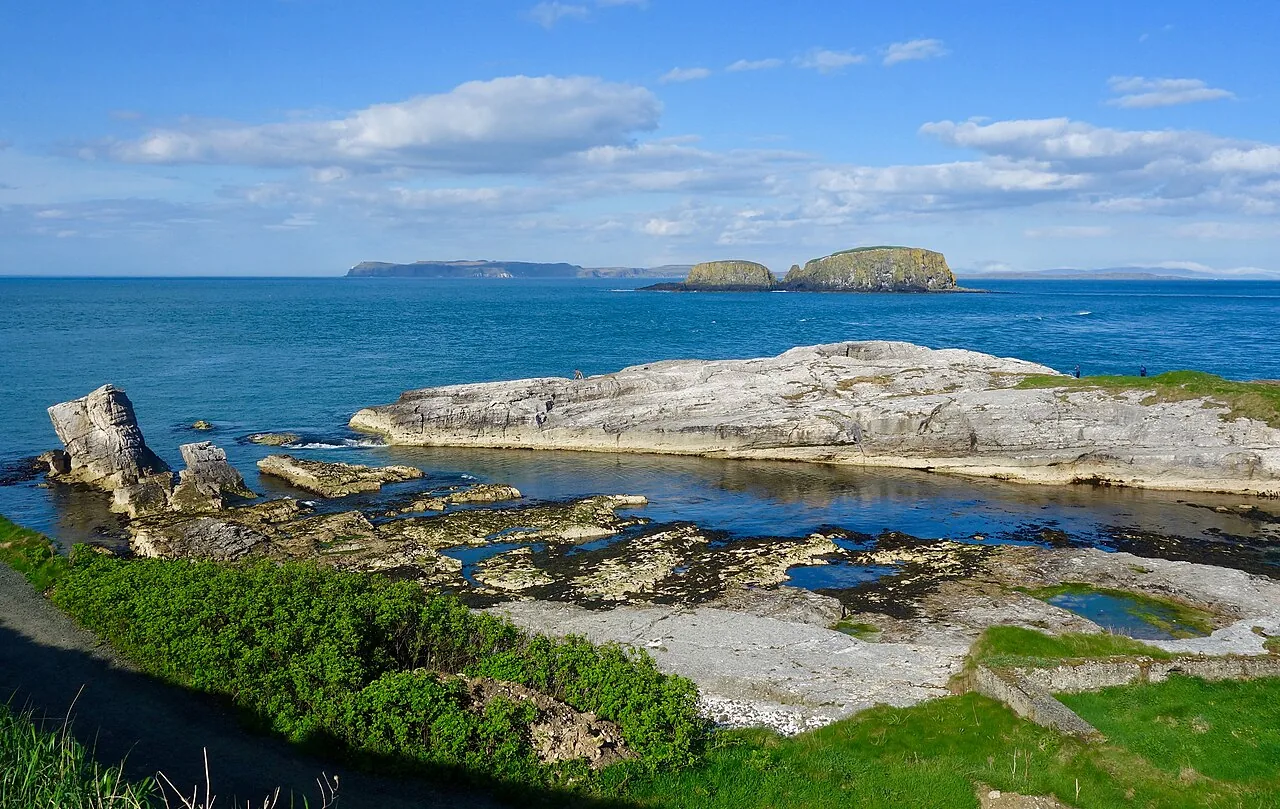
Pyke harbour and the Iron Islands coast
See the locationOpen in Google Maps ↗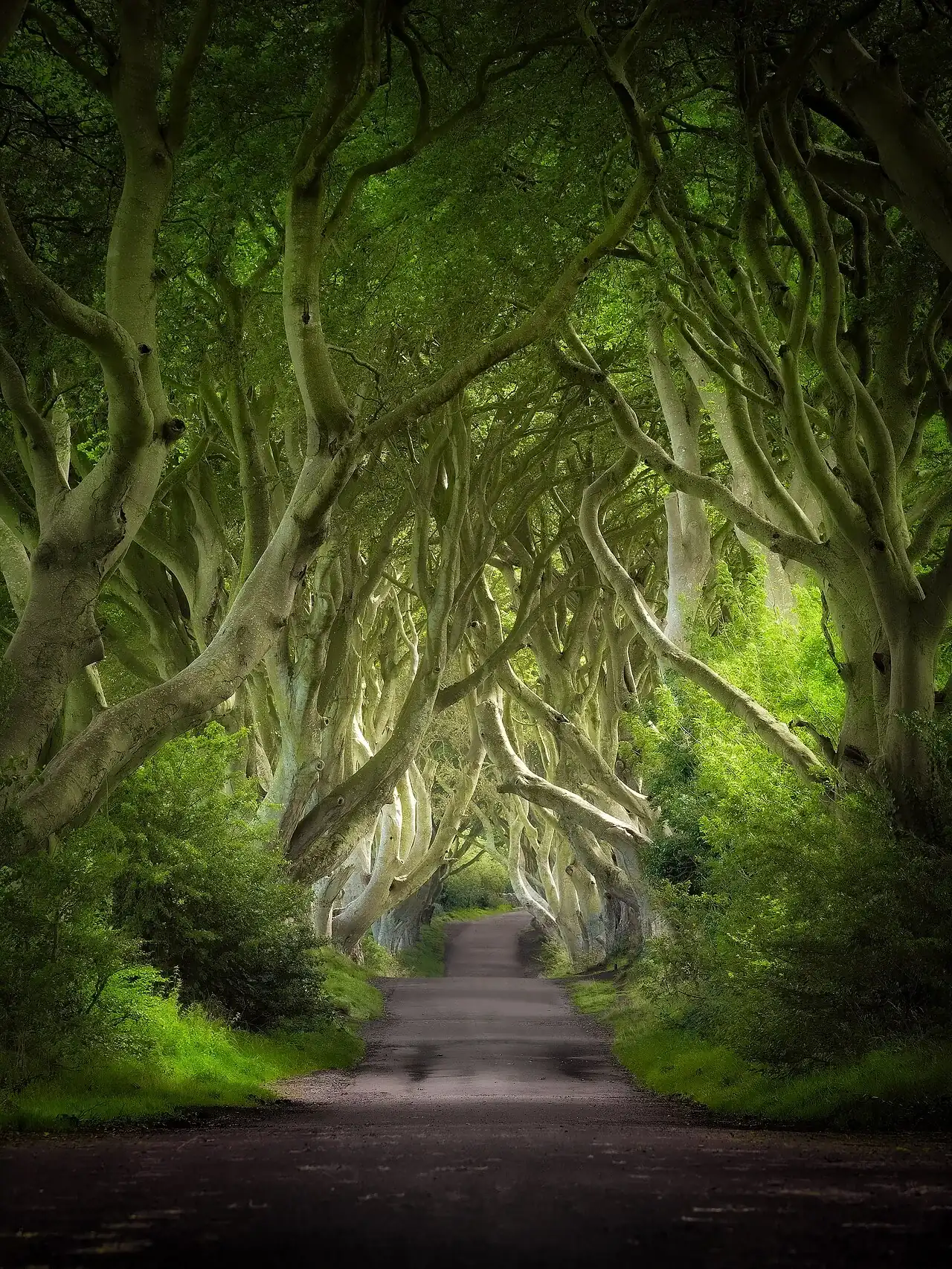
The Kingsroad
See the locationOpen in Google Maps ↗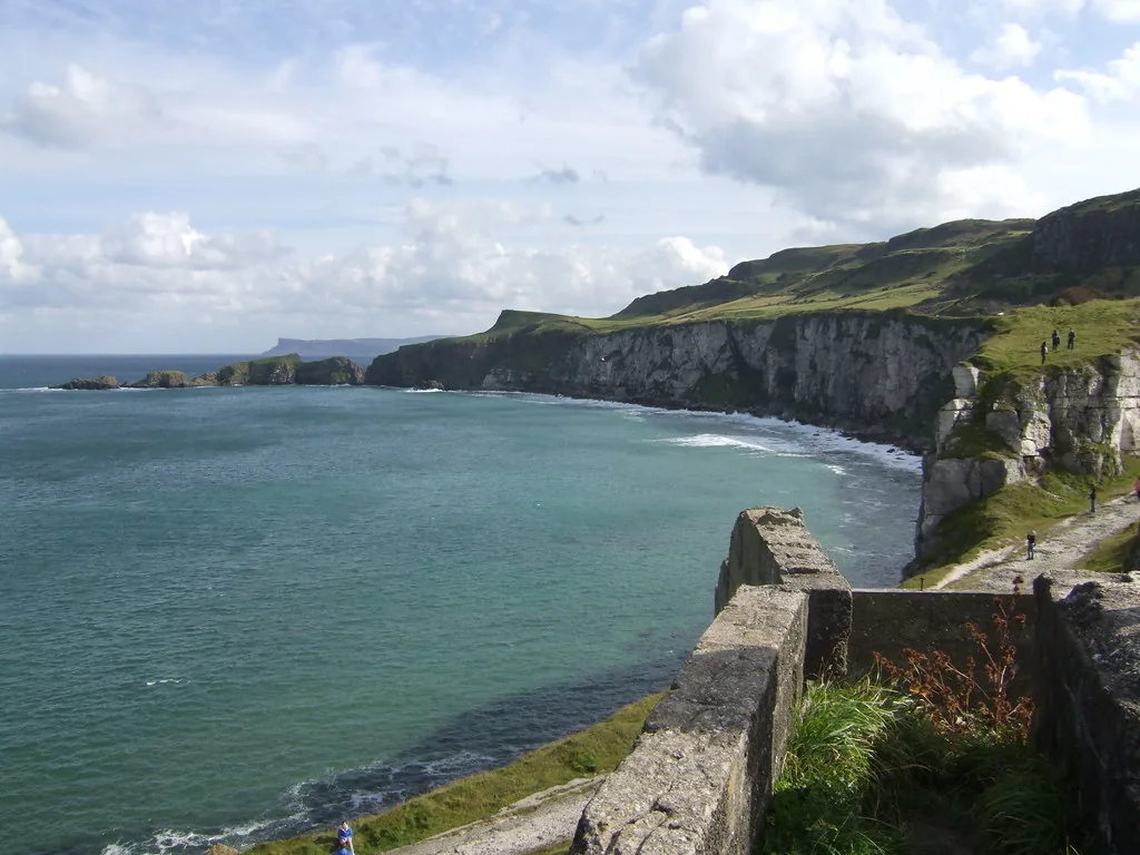
Renly Baratheon's camp; the Ironborn Kingsmoot
See the locationOpen in Google Maps ↗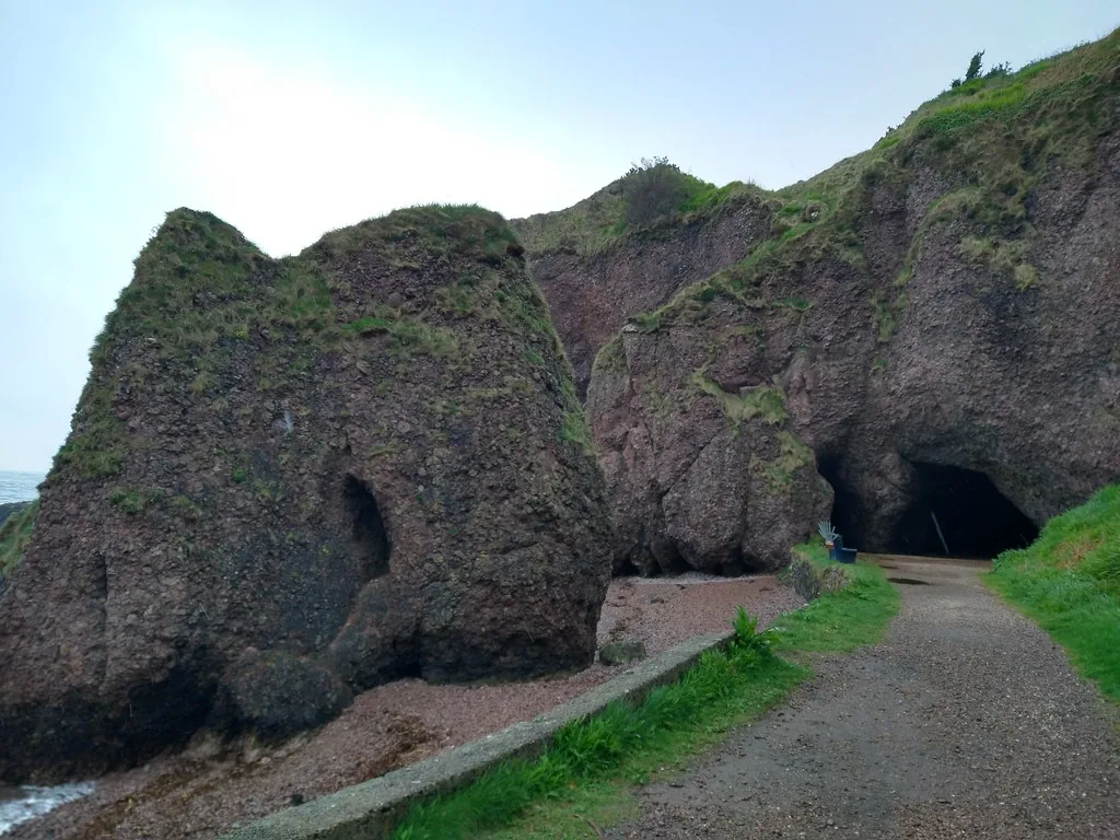
Stormlands cove where Melisandre's shadow appears
See the locationOpen in Google Maps ↗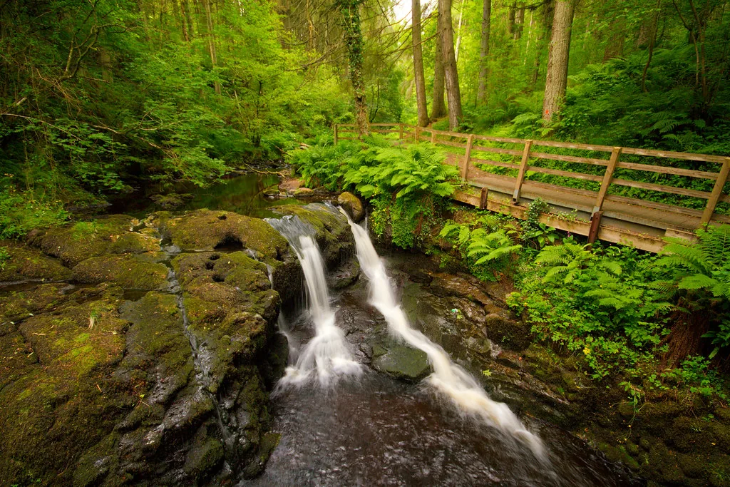
The Vale of Arryn, around Runestone
See the locationOpen in Google Maps ↗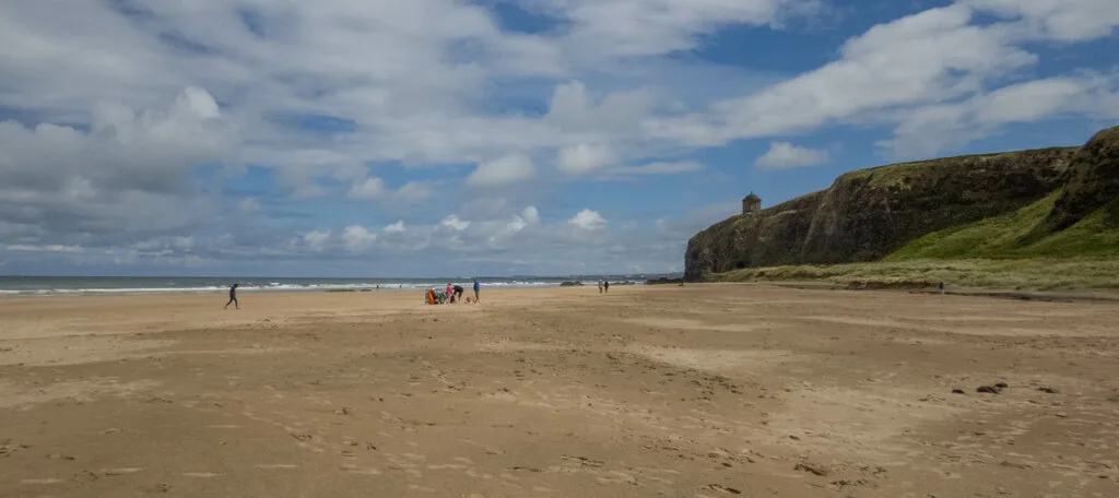
Dragonstone shore, where the Seven are burned
See the locationOpen in Google Maps ↗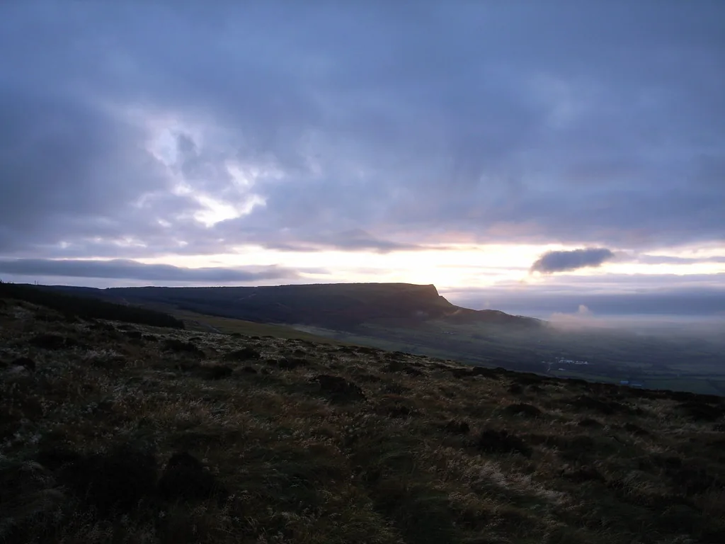
Dothraki country, where Daenerys is found
See the locationOpen in Google Maps ↗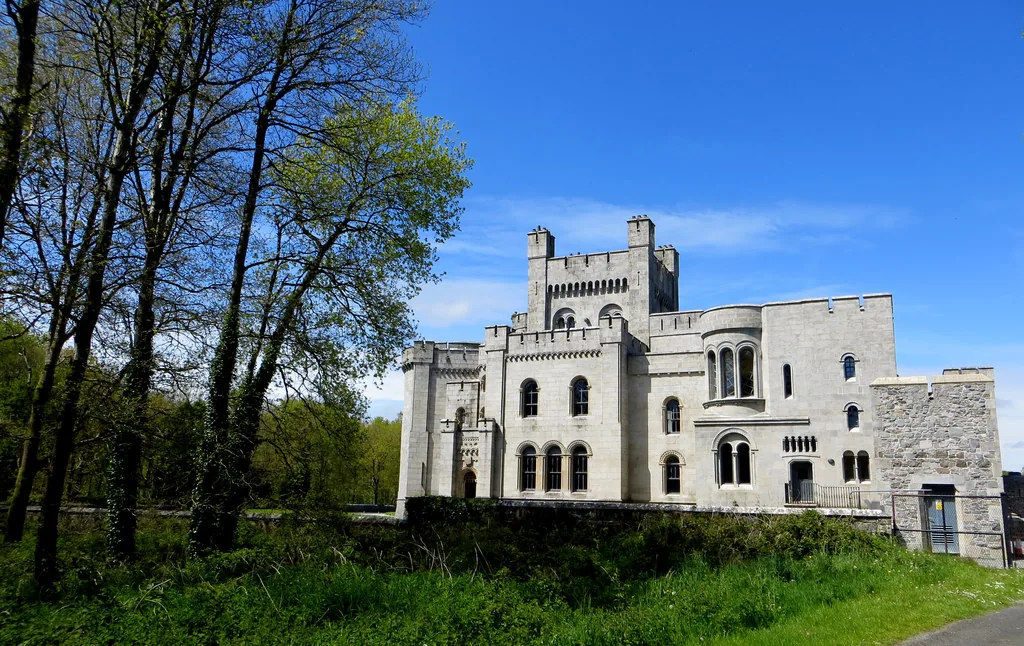
Exterior around Robb's camp in season three
See the locationOpen in Google Maps ↗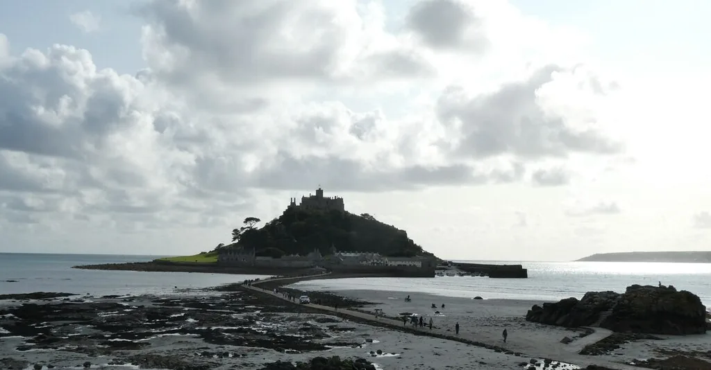
High Tide, the Velaryon seat on Driftmark
See the locationOpen in Google Maps ↗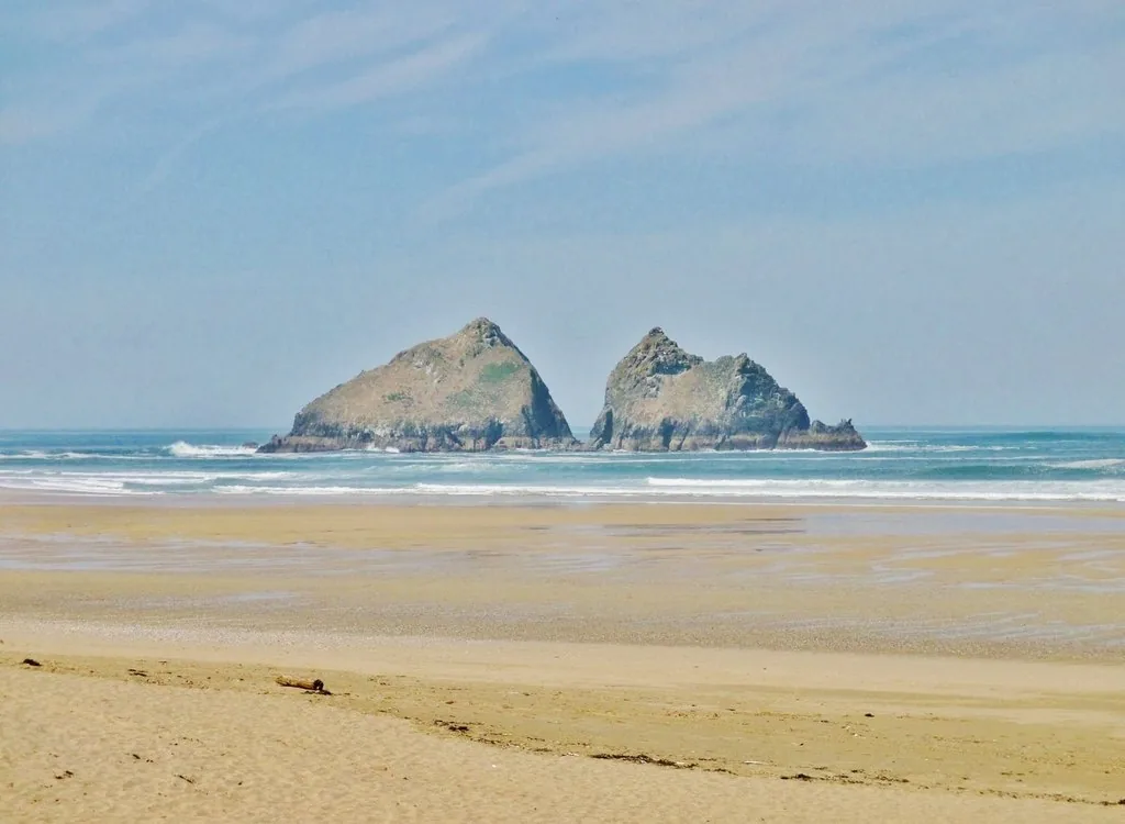
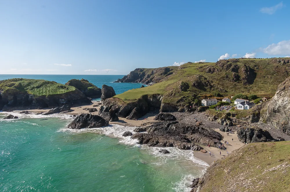
Daemon's Valyrian camp in the Stepstones
See the locationOpen in Google Maps ↗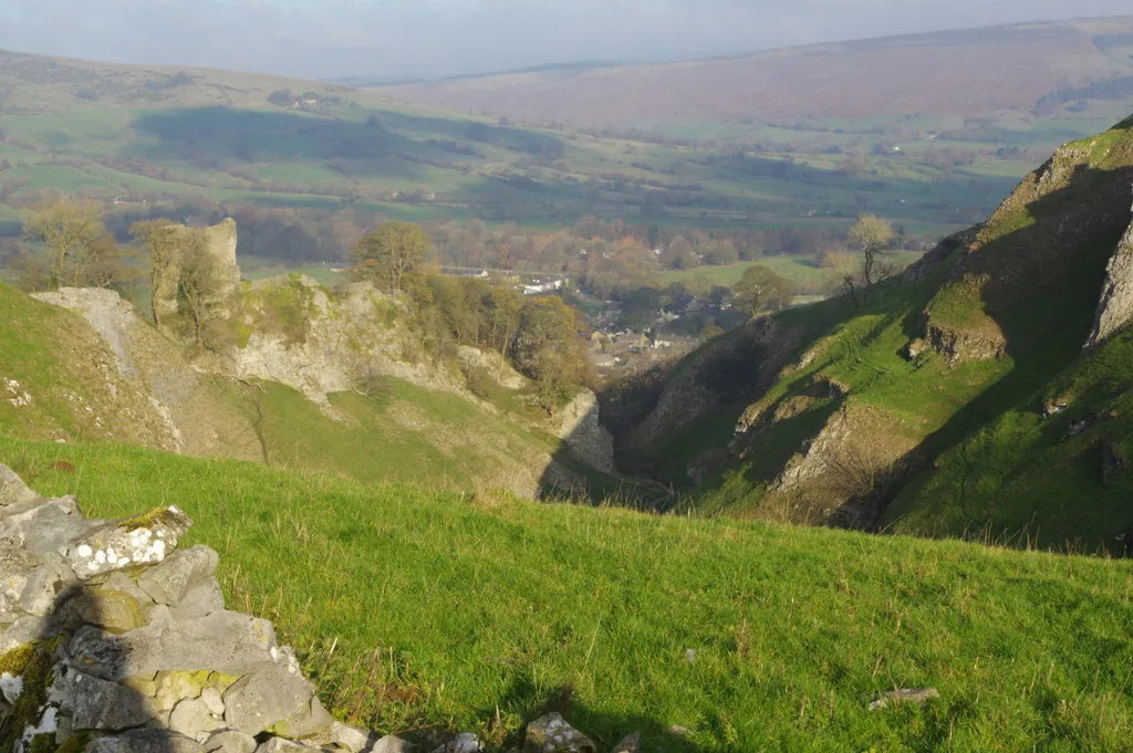
A Westerosi marketplace; Westeros countryside in Cave Dale
See the locationOpen in Google Maps ↗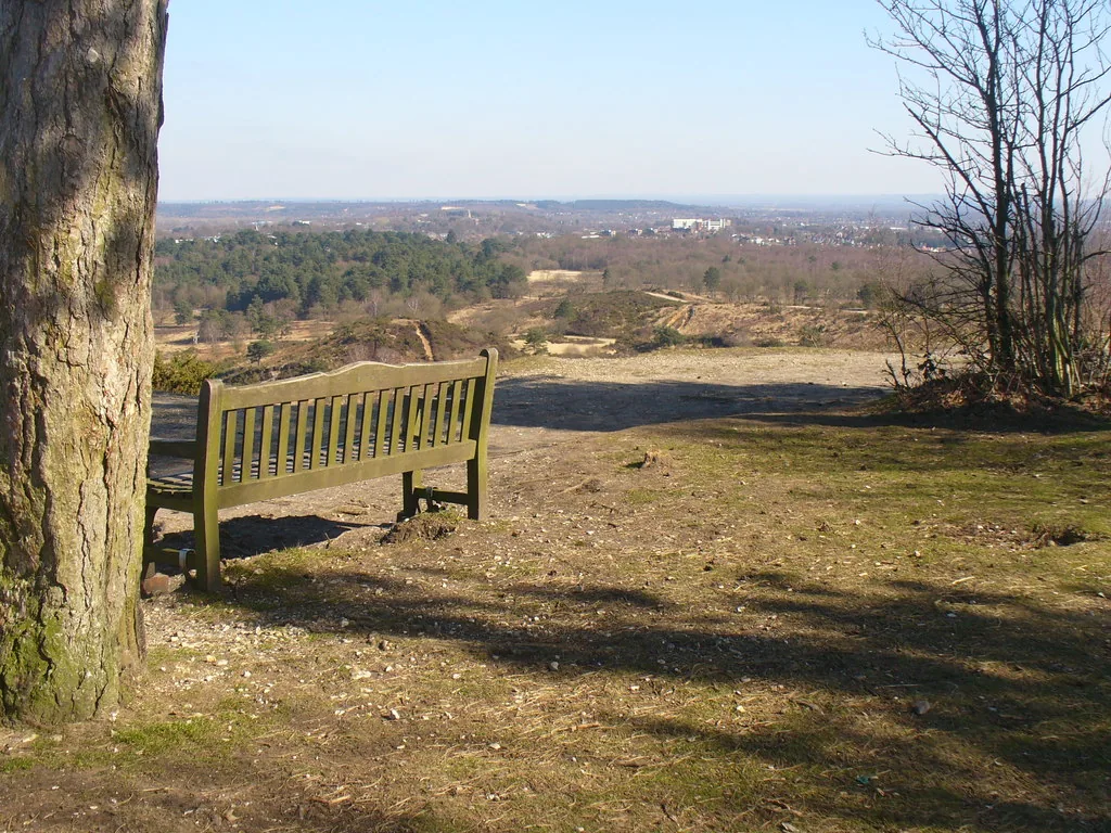
The tournament grounds outside King's Landing
See the locationOpen in Google Maps ↗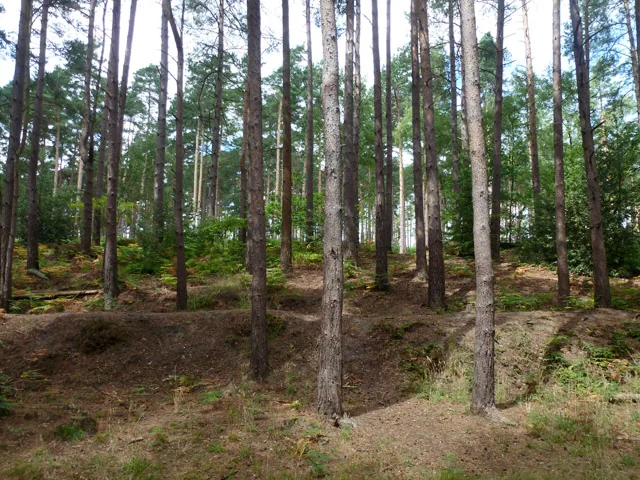
Westeros woodland
See the locationOpen in Google Maps ↗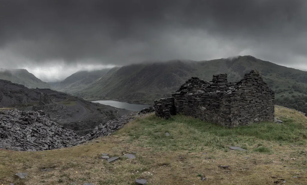
Harrenhal; series-three landscapes at Craig yr Undeb
See the locationOpen in Google Maps ↗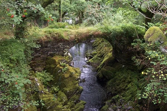
A river crossing in Westeros
See the locationOpen in Google Maps ↗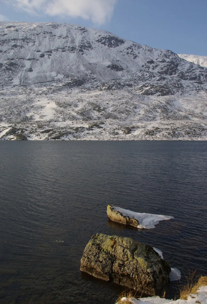
Riders crossing Westeros; mountain scenery in season three
See the locationOpen in Google Maps ↗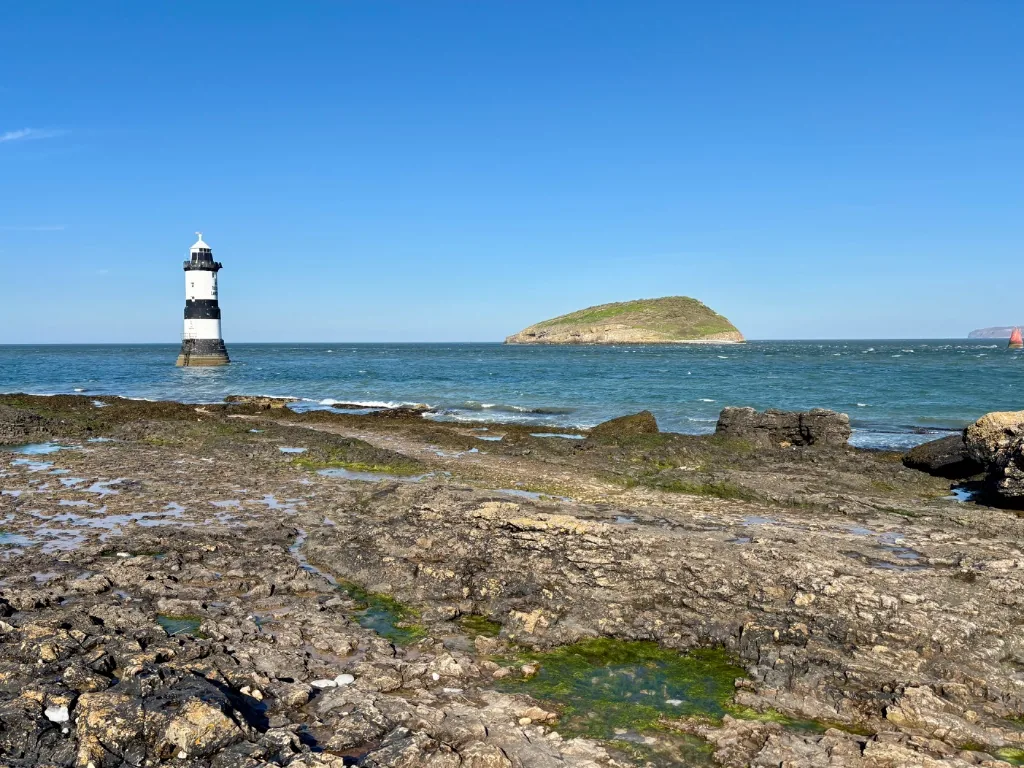
Westeros coastline
See the locationOpen in Google Maps ↗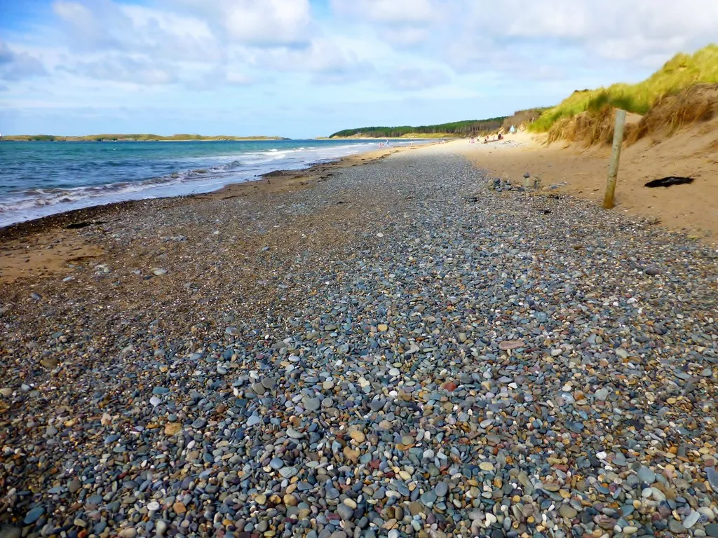
Westeros shore and woodland
See the locationOpen in Google Maps ↗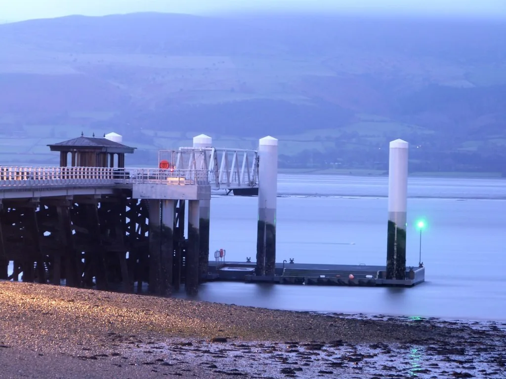
A Westerosi port
See the locationOpen in Google Maps ↗These places are private, too broad to pin, or have no public visitor entrance. Their pages explain what can be seen responsibly.
The Riverlands village where the Hound is found · Open to visitors
Hollow Hill, the Brotherhood Without Banners' hideout · View from public space