Black Country and Birmingham · Tickets needed
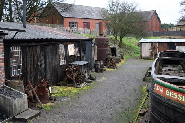
Black Country Living Museum
Charlie Strong's yard, Small Heath canal and a school
See the locationOpen in Google Maps ↗Public places only
Every Peaky Blinders location you can visit, on one map. Private homes, farms and working sites are not shown.
Pins mark the named public place or visitor entrance, not a camera position. Map data © OpenStreetMap contributors.
Accessible alternative
Charlie Strong's yard, Small Heath canal and a school
See the locationOpen in Google Maps ↗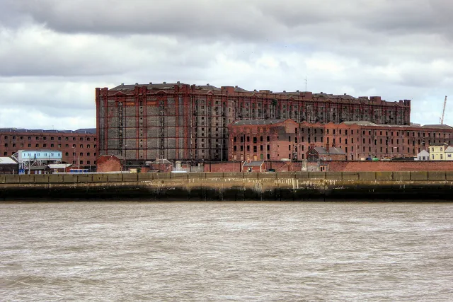
Lanes around the Garrison and a gang confrontation
See the locationOpen in Google Maps ↗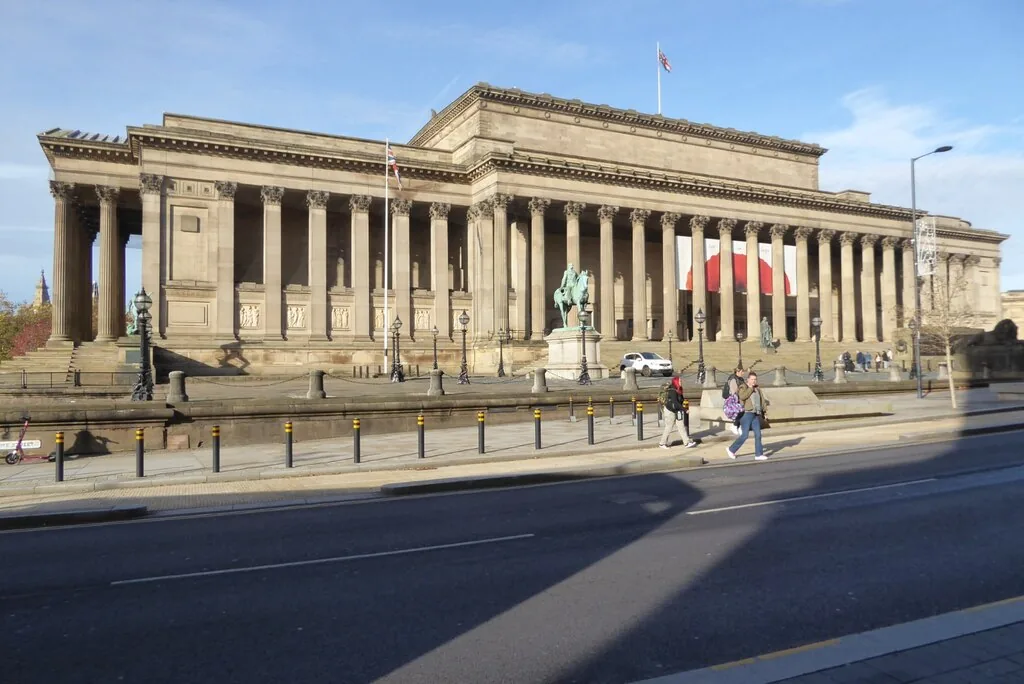
Charity dinner, Parliament corridors and Mosley's rally
See the locationOpen in Google Maps ↗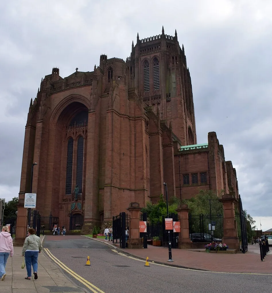
Small Heath church
See the locationOpen in Google Maps ↗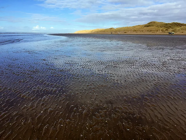
Margate beach where Tommy meets Alfie
See the locationOpen in Google Maps ↗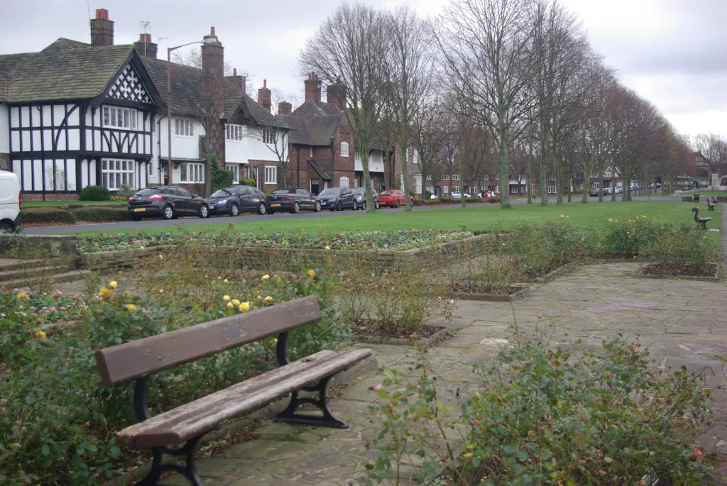
The district of Polly Gray's new house
See the locationOpen in Google Maps ↗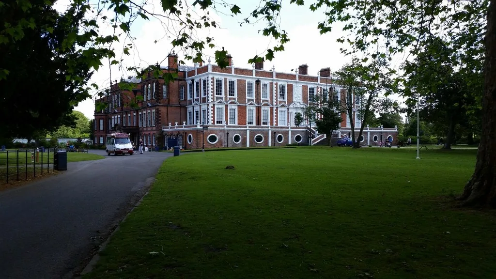
Upstairs rooms of Arrow House
See the locationOpen in Google Maps ↗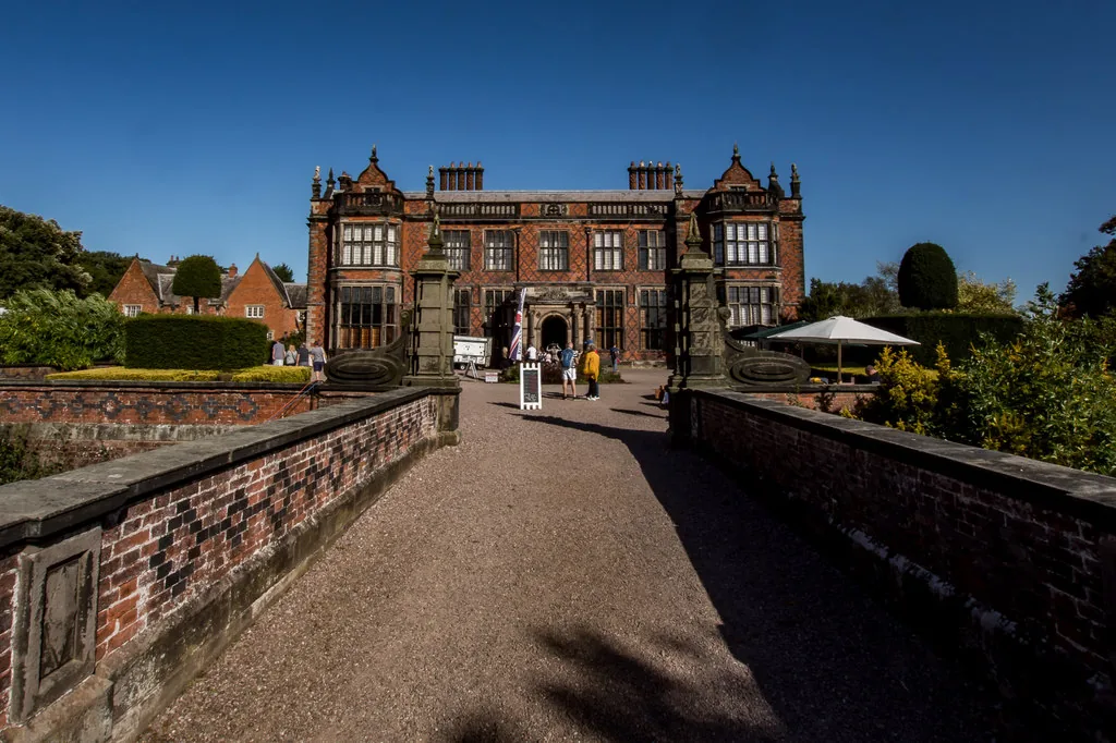
Arrow House exterior and ground floor
See the locationOpen in Google Maps ↗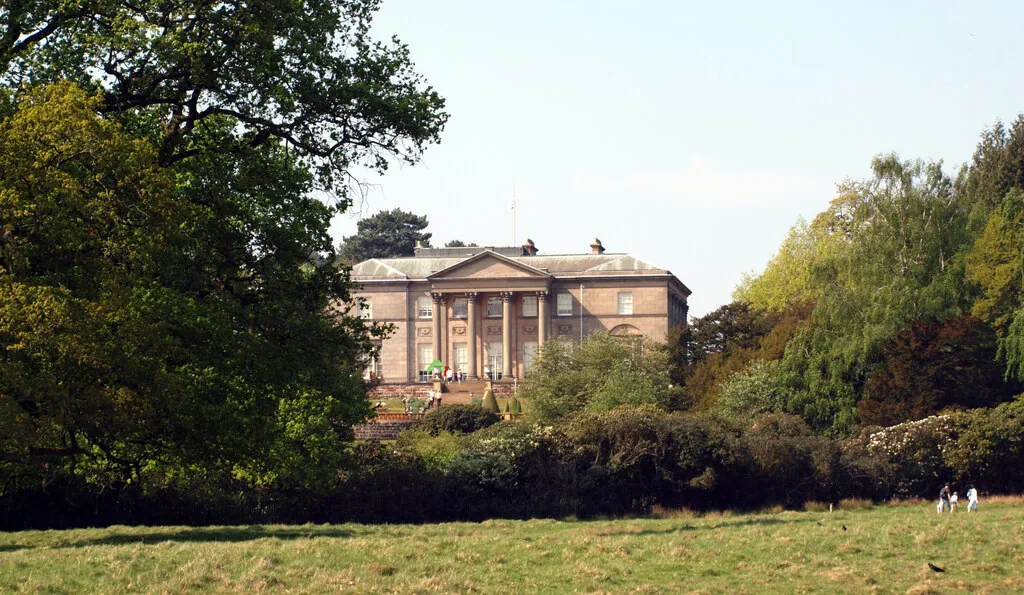
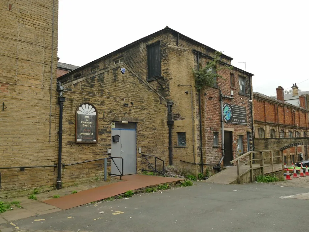
Boxing scenes and the Shelby company office
See the locationOpen in Google Maps ↗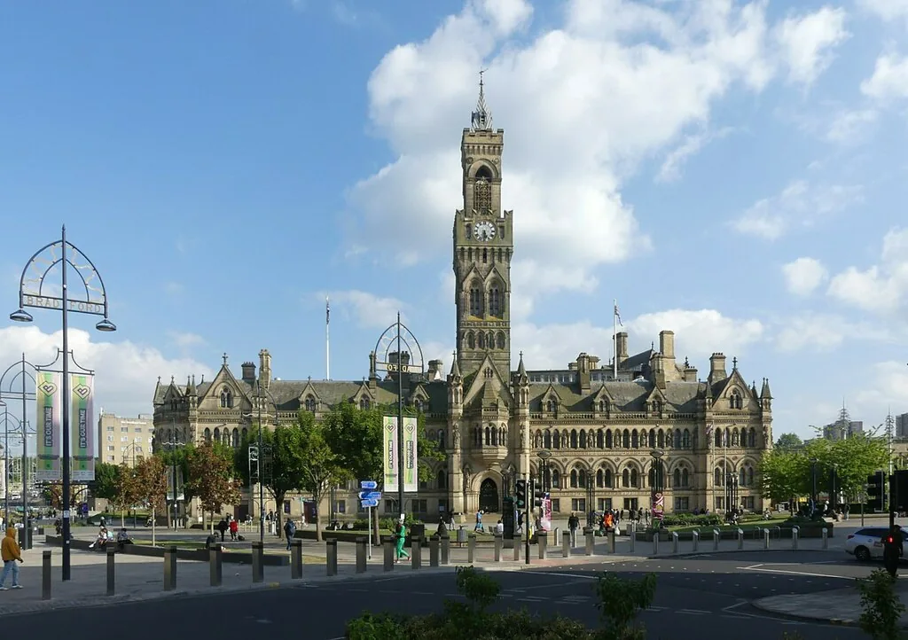
Tommy's Westminster office
See the locationOpen in Google Maps ↗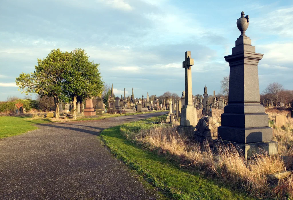
A Birmingham burial ground
See the locationOpen in Google Maps ↗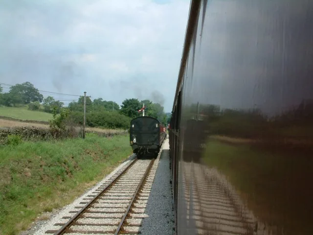
The train where Grace confronts Campbell
See the locationOpen in Google Maps ↗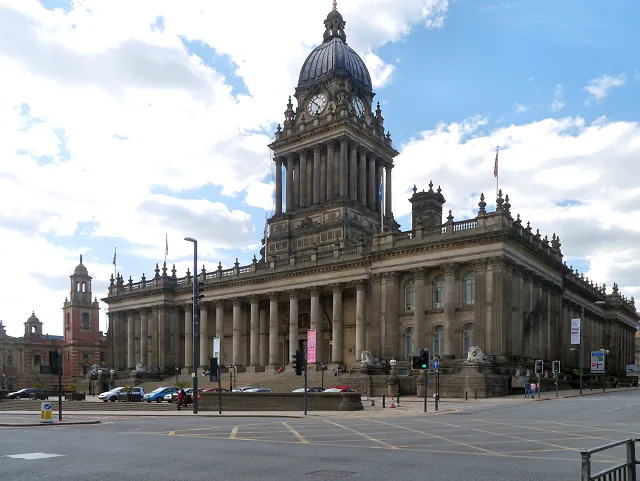
An art gallery and political scenes
See the locationOpen in Google Maps ↗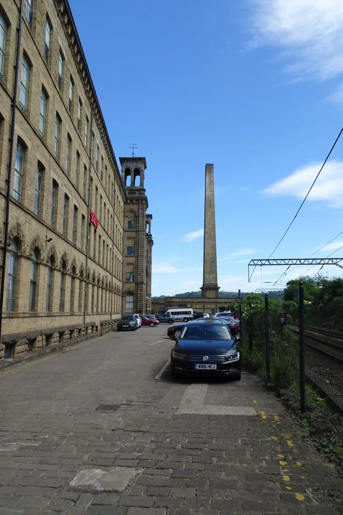
Period industrial interiors and streets
See the locationOpen in Google Maps ↗These places are private, too broad to pin, or have no public visitor entrance. Their pages explain what can be seen responsibly.
Watery Lane, the Shelby family's street · View from public space