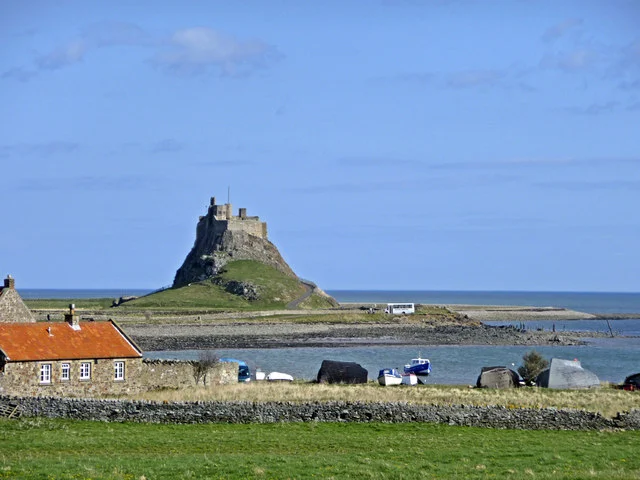
North Northumberland coast · Tidal public access
Holy Island and Lindisfarne
Holy Island’s coastal screen landscape
See the locationOpen in Google Maps ↗Public places only
Every Vera location you can visit, on one map. Private homes, farms and working sites are not shown.
Pins mark the named public place or visitor entrance, not a camera position. Map data © OpenStreetMap contributors.
Accessible alternative
Holy Island’s coastal screen landscape
See the locationOpen in Google Maps ↗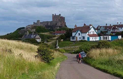
Beach and dune filming
See the locationOpen in Google Maps ↗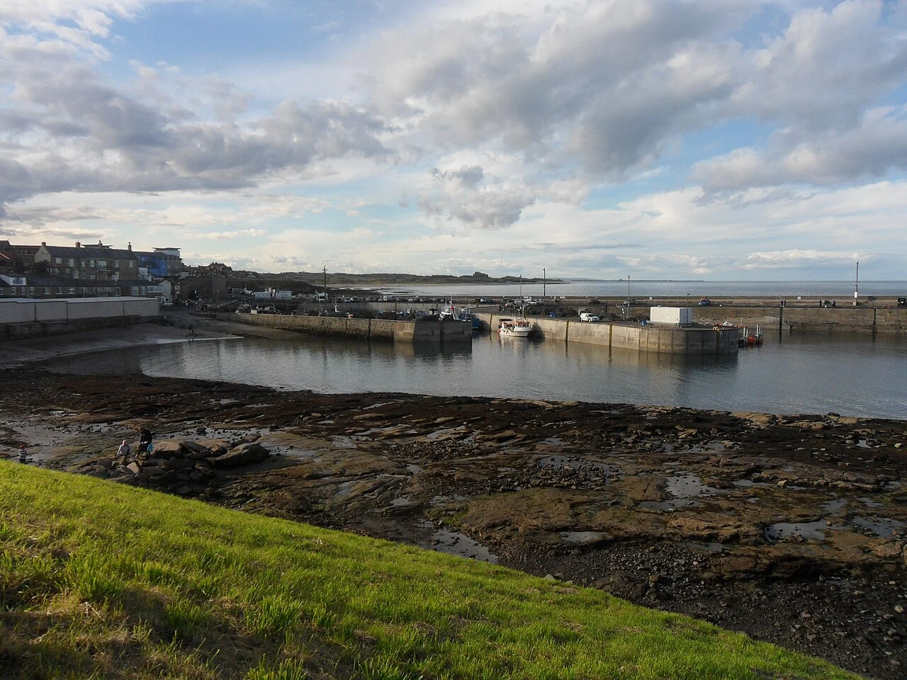
Recurring coastal town filming
See the locationOpen in Google Maps ↗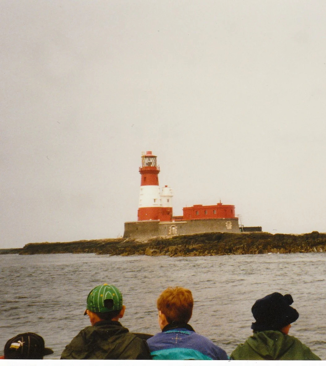
Ternstone island story in Natural Selection
See the locationOpen in Google Maps ↗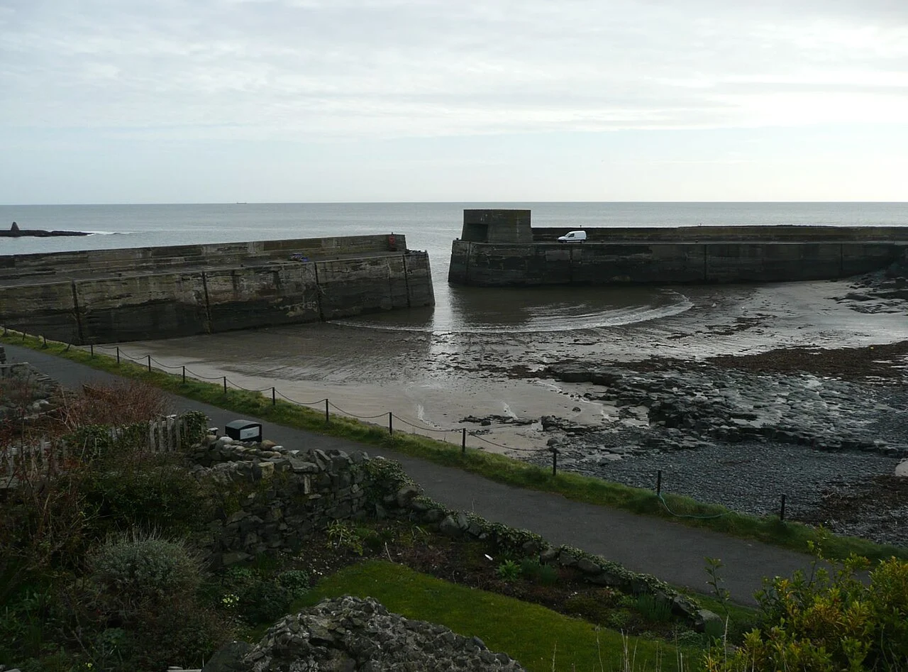
Fishing-village filming
See the locationOpen in Google Maps ↗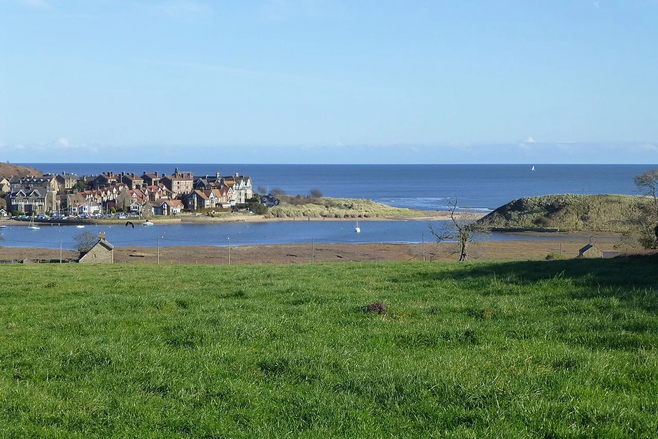
Village and beach landscapes
See the locationOpen in Google Maps ↗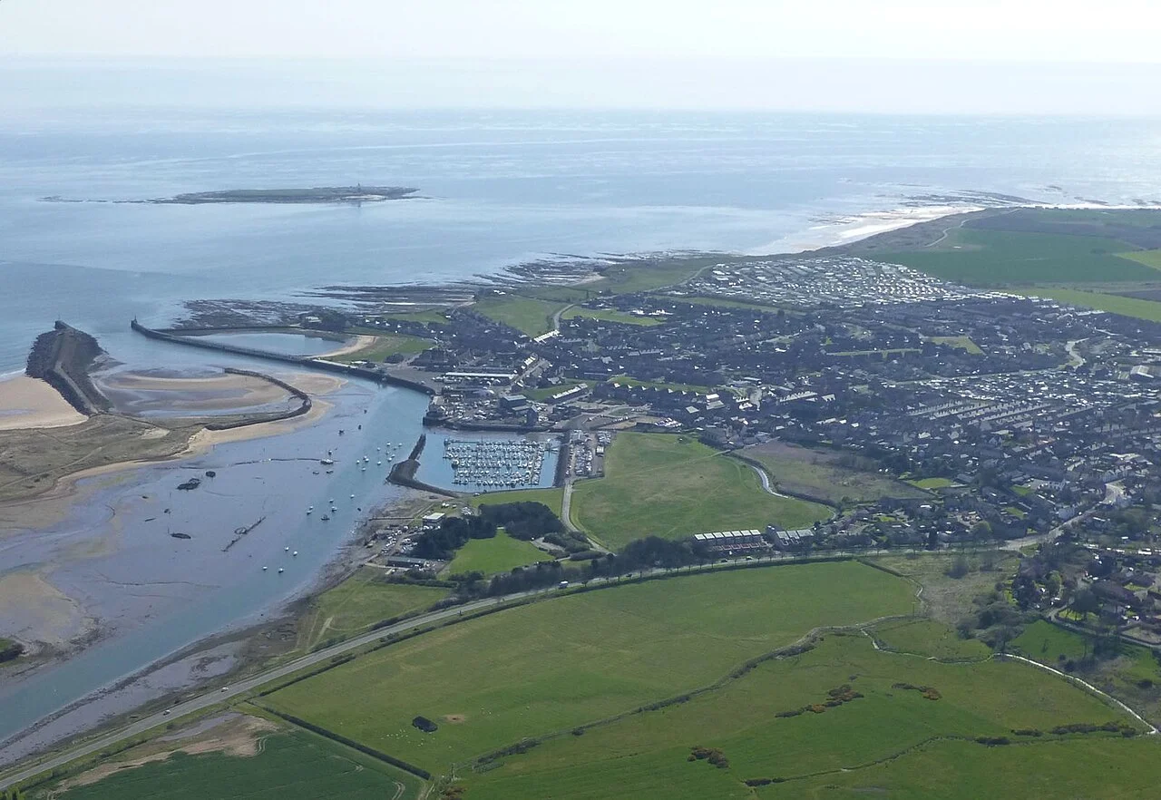
Harbour and coastal town backdrop
See the locationOpen in Google Maps ↗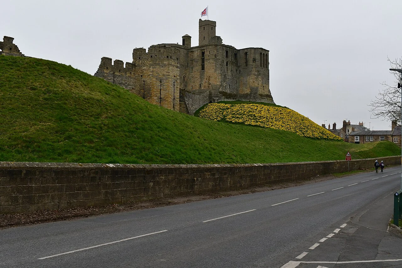
Village landscapes in series thirteen
See the locationOpen in Google Maps ↗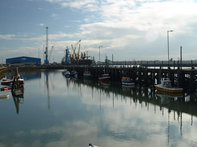
Final-series coastal filming
See the locationOpen in Google Maps ↗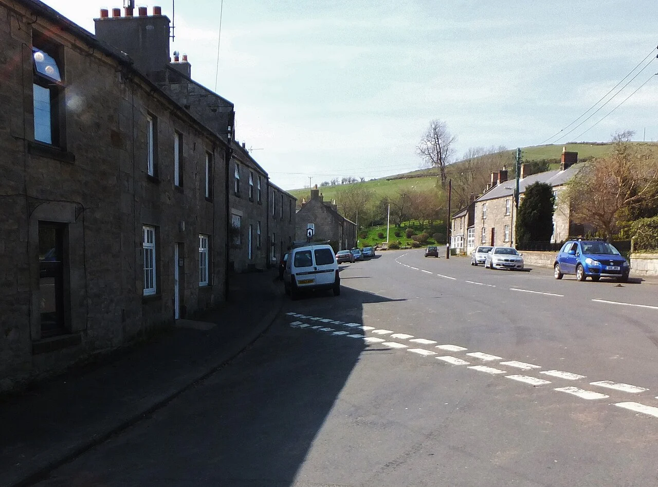
Final-series village crowd and parade
See the locationOpen in Google Maps ↗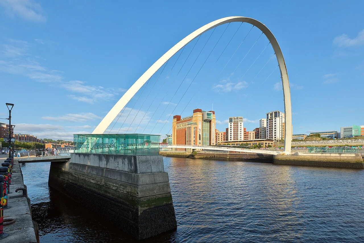
River investigation in Death of a Family Man
See the locationOpen in Google Maps ↗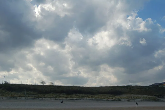
Coastal town and Priory filming
See the locationOpen in Google Maps ↗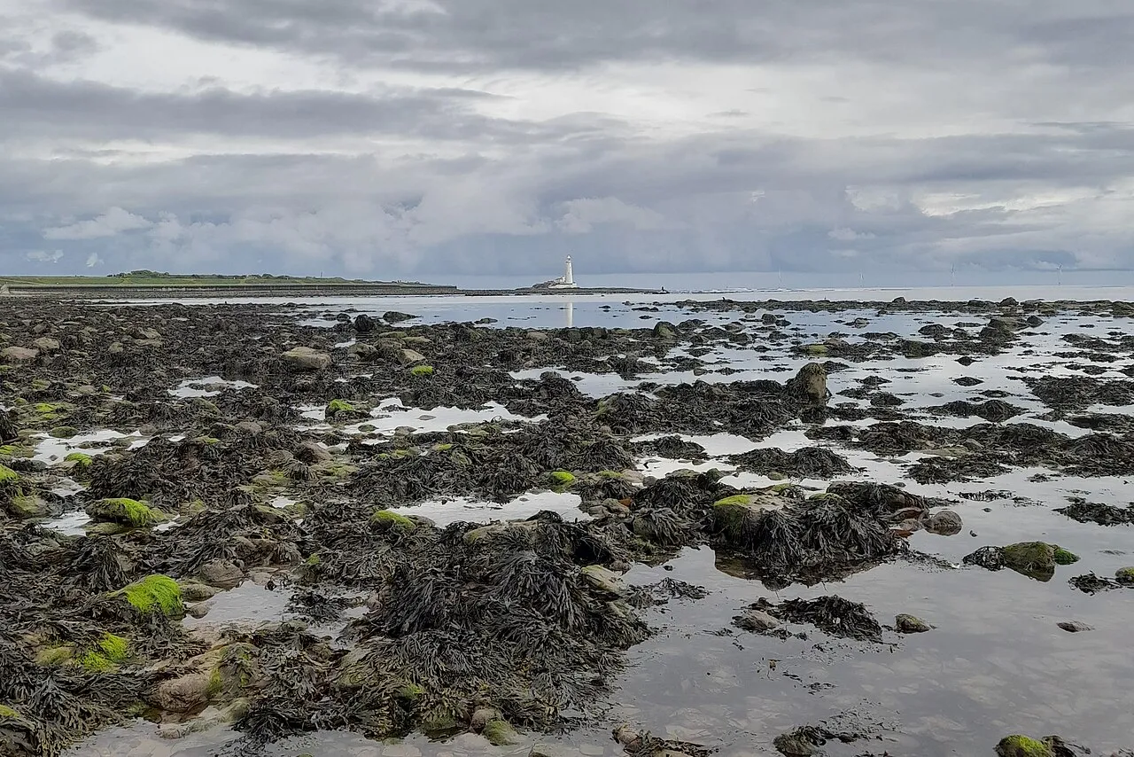
Vera and Joe’s causeway exchange
See the locationOpen in Google Maps ↗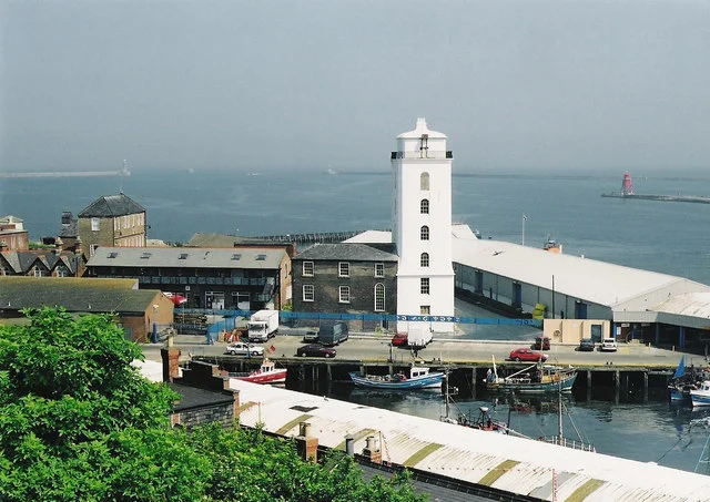
Ashes scene in Hidden Depths
See the locationOpen in Google Maps ↗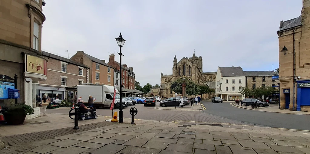
Fictional Bentham in series thirteen
See the locationOpen in Google Maps ↗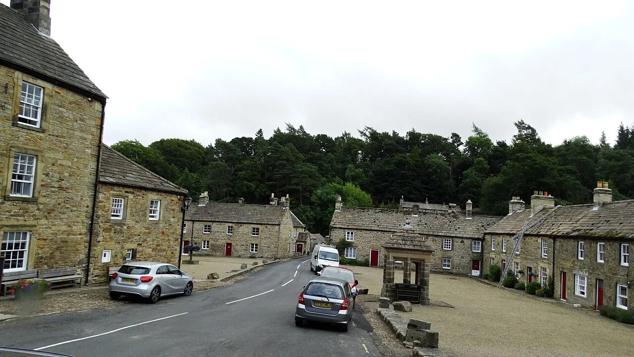
Village filming in the North Pennines
See the locationOpen in Google Maps ↗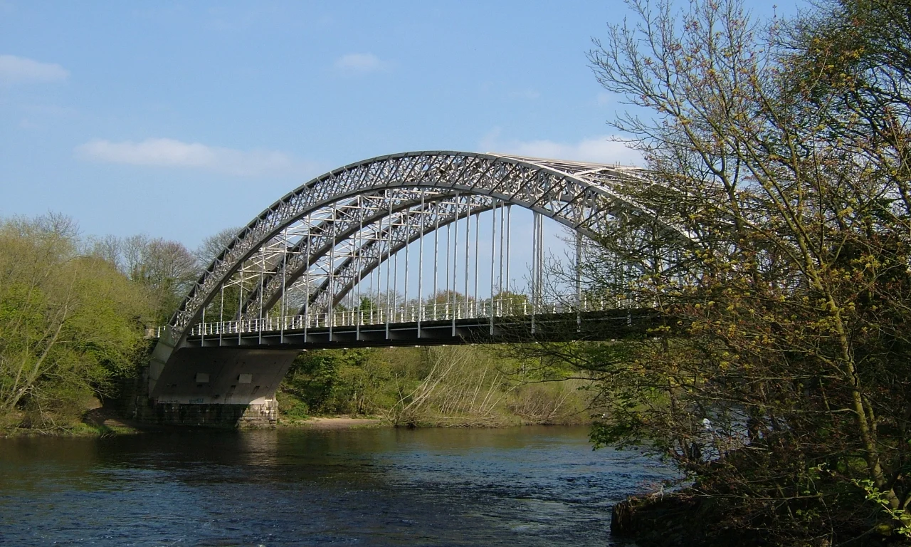
Hagg Bank Bridge and village setting
See the locationOpen in Google Maps ↗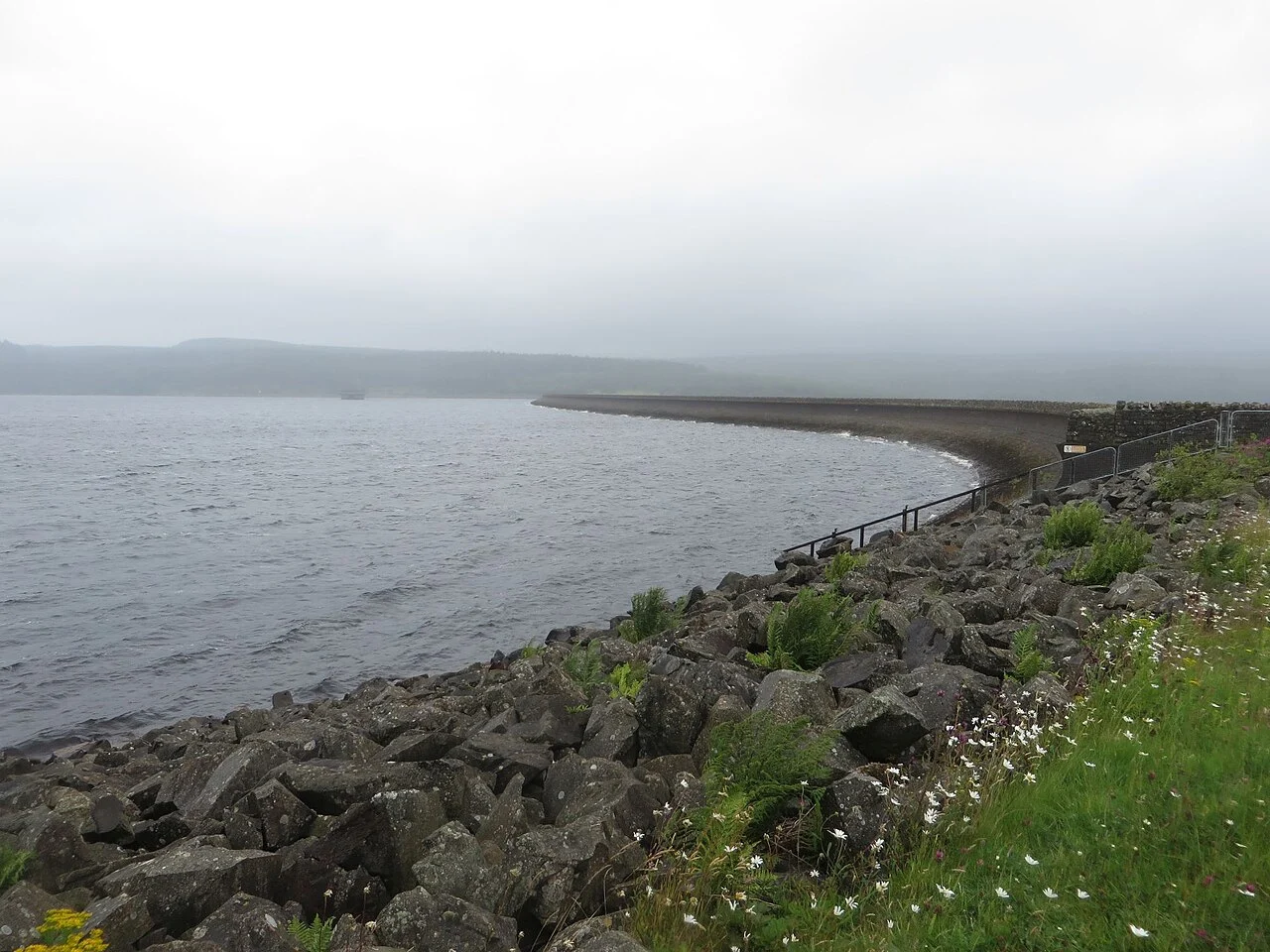
Reservoir filming in Darkwater
See the locationOpen in Google Maps ↗