Confirmed · Hexham and the Tyne Valley · Village
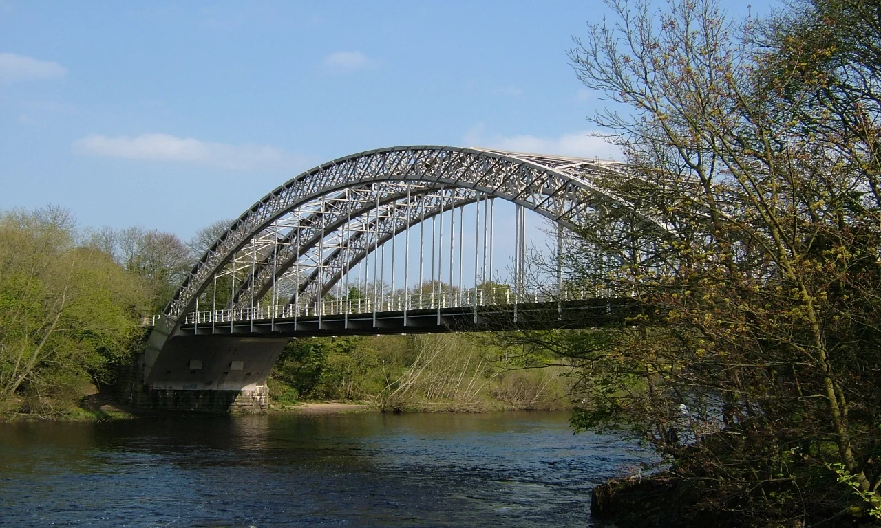
Wylam and Hagg Bank Bridge
Hagg Bank Bridge and village setting in Vera. Public streets and paths; allow 1–2 hours.
- On screen as
- Hagg Bank Bridge and village setting
- Access
- Public streets and paths
- Time needed
- 1–2 hours
- Where
- Wylam and Hagg Bank Bridge, Northumberland
On screen
How Wylam and Hagg Bank Bridge appears
Wylam has a more precise Vera landmark than a general village credit: Visit Northumberland explicitly identifies Hagg Bank Bridge as a filming backdrop. The surrounding riverside also forms part of the programme’s Tyne Valley geography. This page keeps the confirmed bridge connection distinct from invented episode details or a supposed police route. Walk out along the public riverside to appreciate why a former railway crossing works so well on screen, with the river, trees and curved iron structure creating an immediate change from the city bridges downstream.
The real place
What you can visit
Wylam’s railway history is visible in its station, former waggonway and bridges. Hagg Bank Bridge was built as a railway structure and now belongs to the walking and cycling landscape along the Tyne. The village is also associated with George Stephenson, whose birthplace lies beside the waggonway, giving a separate historical reason to extend the day. The riverside country park offers picnic areas and paths, with sections suitable for a gentler outing. Share the route considerately with cyclists and allow more time if you want both the village and the bridge rather than simply walking to the nearest river view.
Make sure your route names Hagg Bank Bridge. Heading only towards the first bridge from the station can produce a different view from the confirmed filming landmark.
Visit Northumberland ↗Arrive at Wylam station on the Tyne Valley line and follow public village and riverside paths towards Hagg Bank Bridge. Tyne Riverside Country Park has a Wylam car park, with another at Low Prudhoe for a different starting point. Use the signed walking and cycling routes, keeping to firm public paths after rain. The former railway bridge is distinct from the road bridge near the village.
Common questions
Planning a responsible visit
Which bridge is the Vera location?
Visit Northumberland names Hagg Bank Bridge, the former railway bridge, rather than simply any crossing in Wylam.
Can I travel by train?
Yes. Wylam has a station on the Tyne Valley route, followed by a public walk to the riverside and bridge.
Is the riverside only for walkers?
Some routes are shared with cyclists. Keep space for passing traffic and follow the signs through the country park.
Plan your visit
Build it into the day.
Hexham fits the same rail corridor for a market-town stop. Newcastle Quayside provides an instructive contrast between two very different sets of Tyne bridges.
Booking.com links are paid links: we may earn a small commission at no extra cost to you.
Map
Days out including this place
Continue with a prepared day out
Nearby
Continue through Hexham and the Tyne Valley
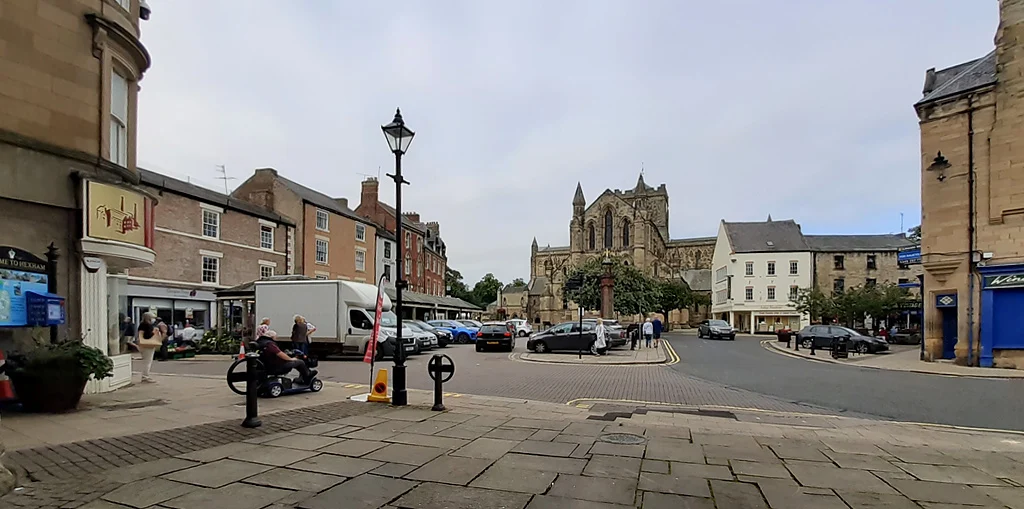
Hexham
Fictional Bentham in series thirteen
See the location →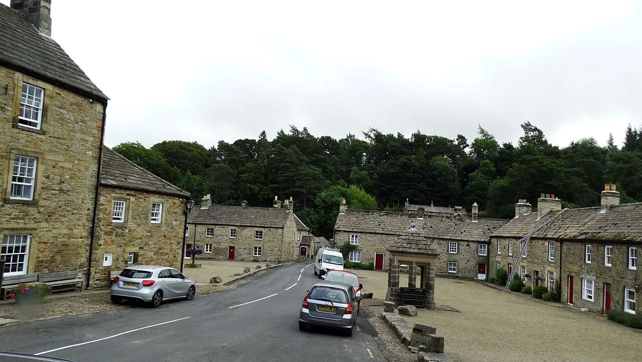
Blanchland
Village filming in the North Pennines
See the location →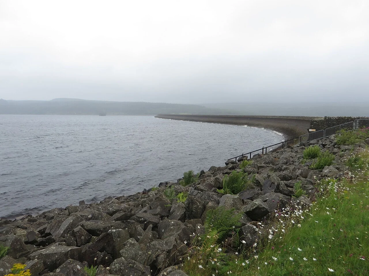
Kielder Water
Reservoir filming in Darkwater
See the location →