Peak District and Cheshire · Tickets and opening calendar
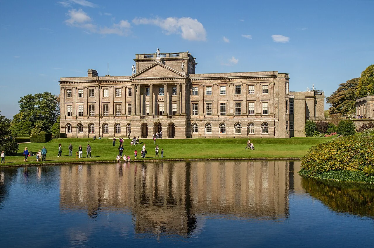
Lyme Park
Pemberley exterior and grounds
See the locationOpen in Google Maps ↗Public places only
Every Pride and Prejudice location you can visit, on one map. Private homes, farms and working sites are not shown.
Pins mark the named public place or visitor entrance, not a camera position. Map data © OpenStreetMap contributors.
Accessible alternative
Pemberley exterior and grounds
See the locationOpen in Google Maps ↗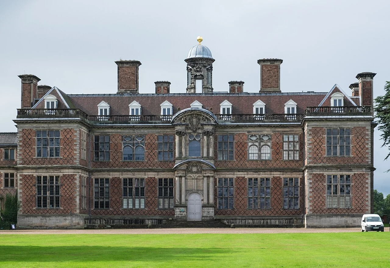
Pemberley interiors
See the locationOpen in Google Maps ↗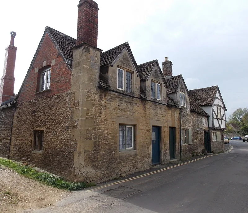
Meryton streets
See the locationOpen in Google Maps ↗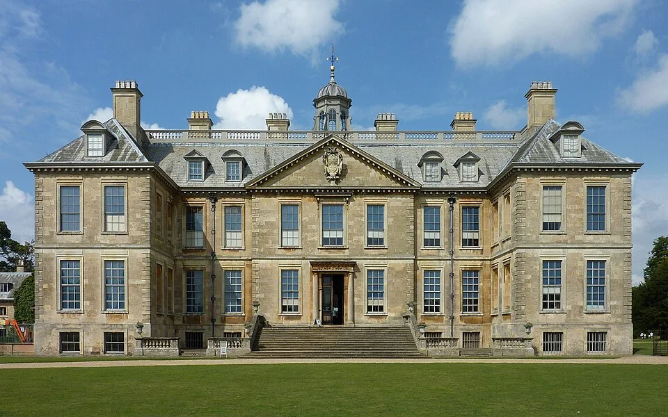
Rosings Park, Lady Catherine’s home
See the locationOpen in Google Maps ↗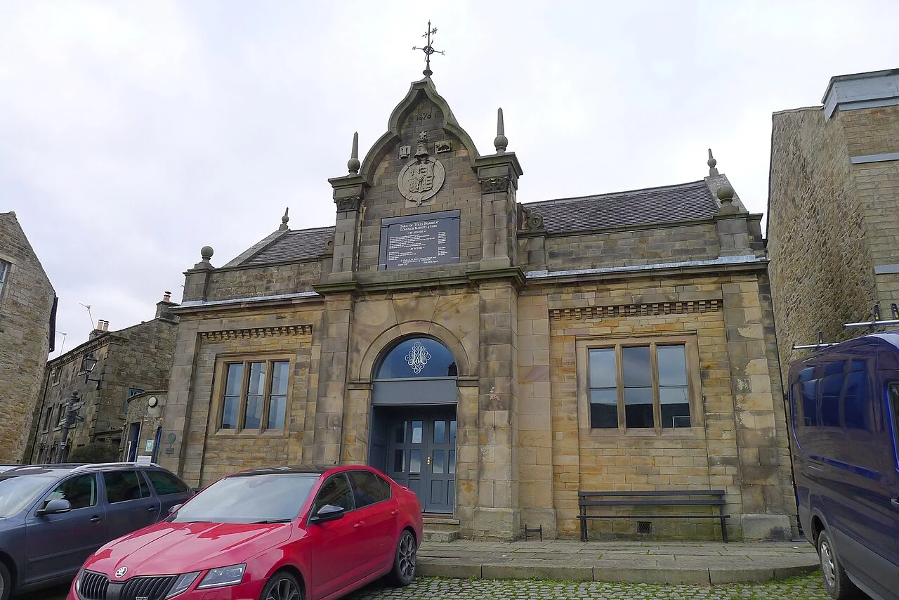
Lambton village
See the locationOpen in Google Maps ↗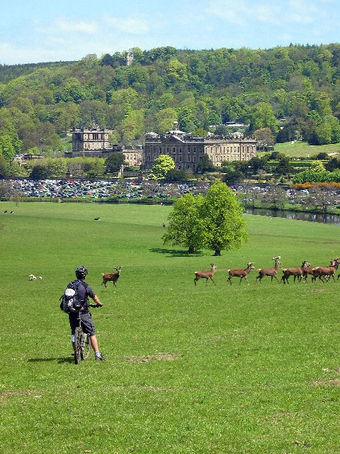
Pemberley
See the locationOpen in Google Maps ↗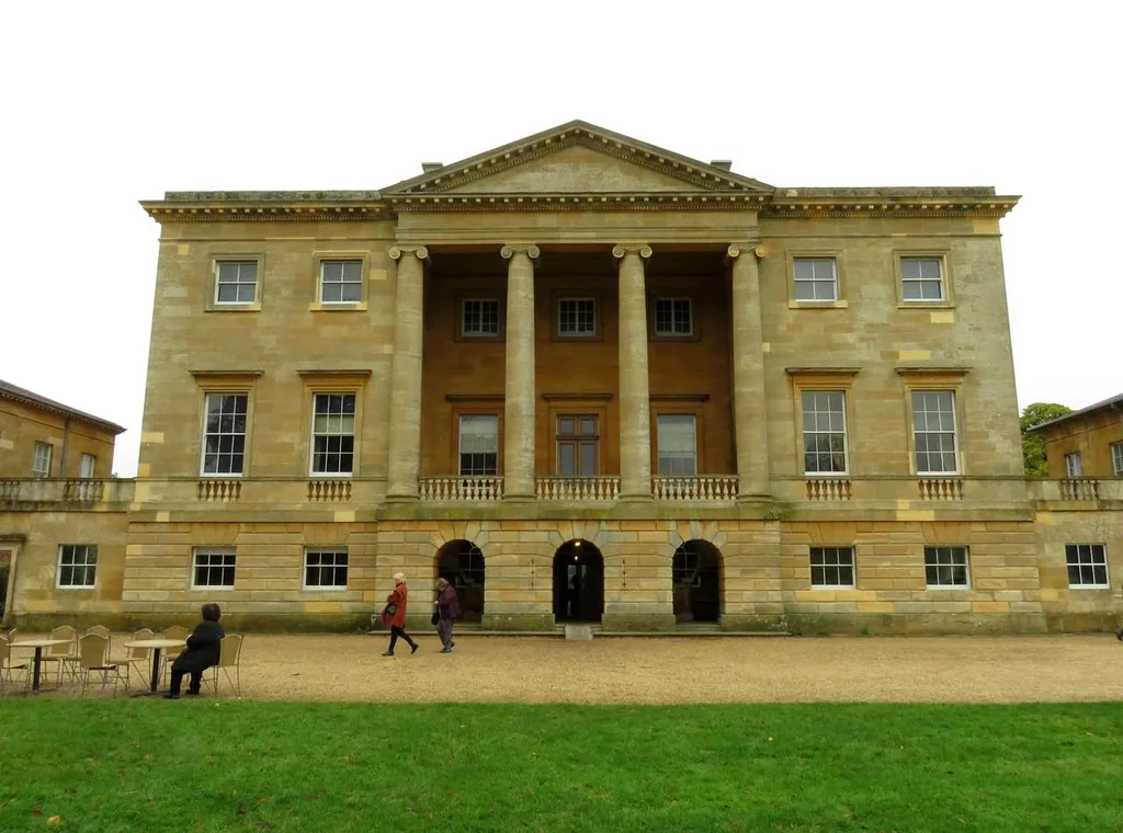
Netherfield, Bingley’s home
See the locationOpen in Google Maps ↗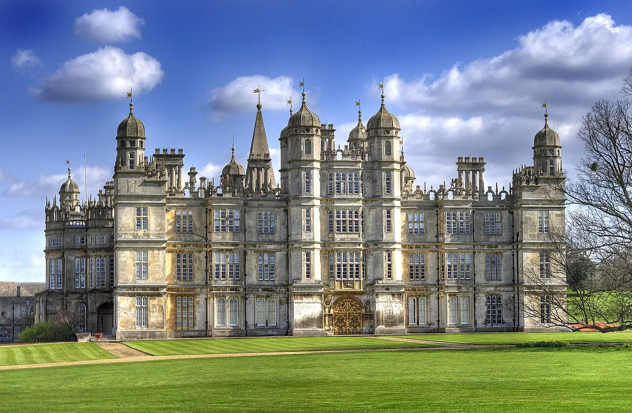
Rosings Park
See the locationOpen in Google Maps ↗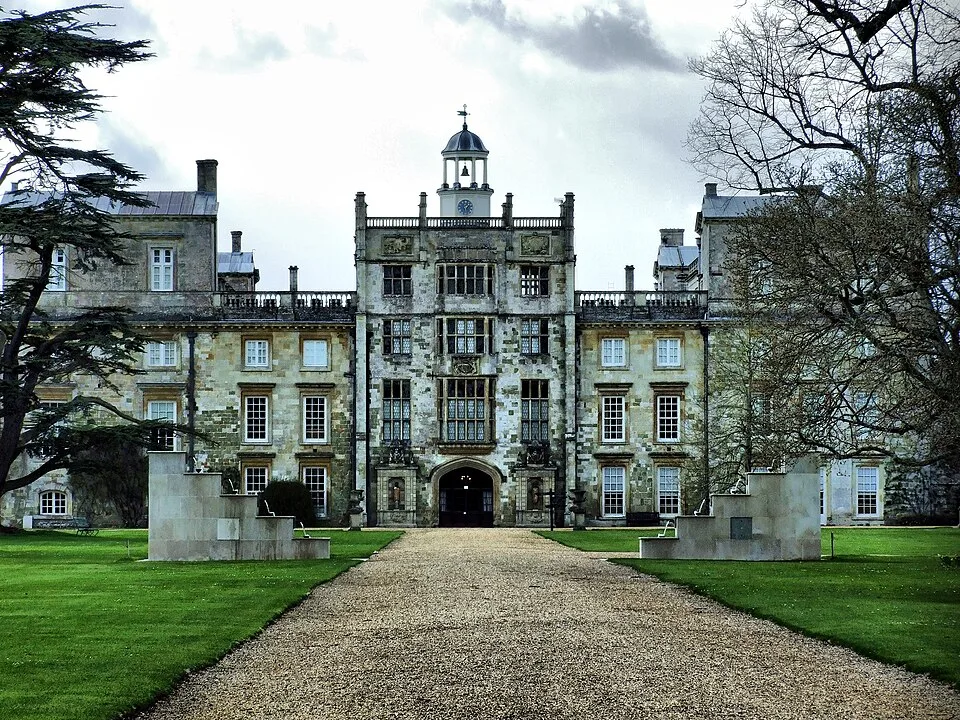
Pemberley interiors, Double Cube Room
See the locationOpen in Google Maps ↗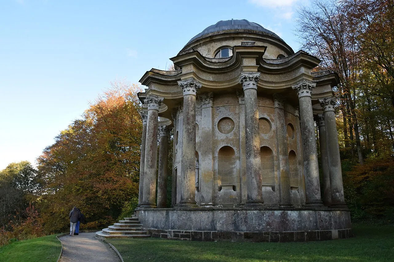
Rosings garden; Temple of Apollo first proposal
See the locationOpen in Google Maps ↗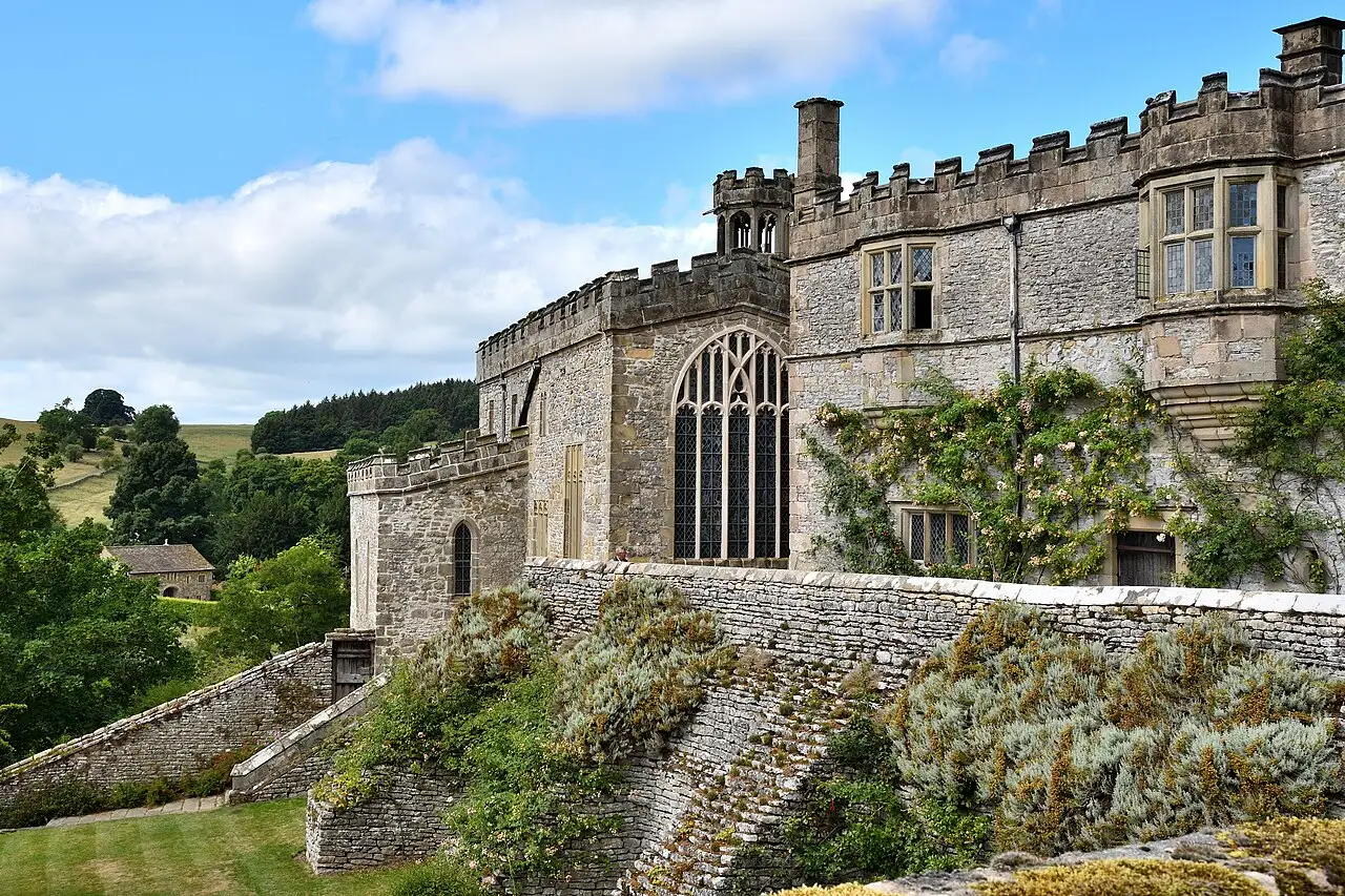
Gardiners’ inn at Lambton
See the locationOpen in Google Maps ↗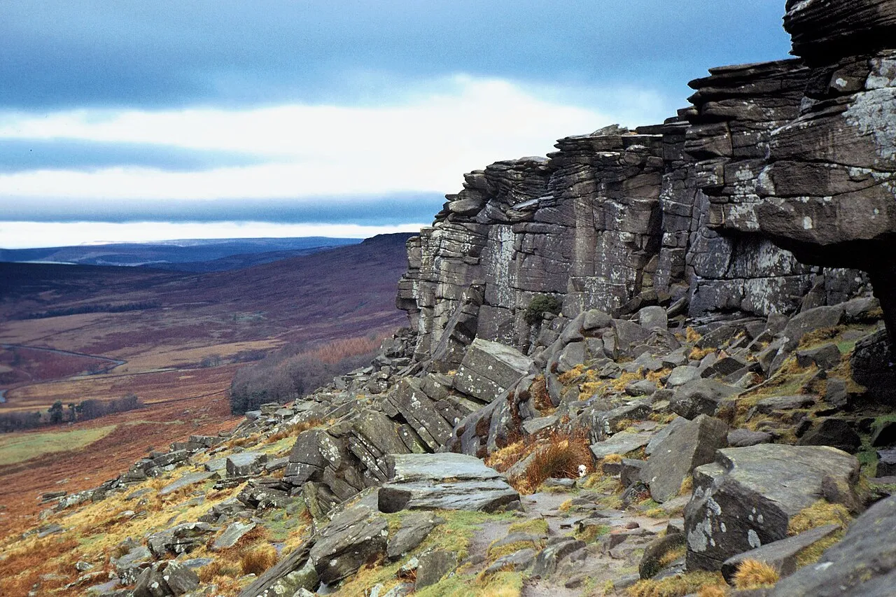
Elizabeth’s dramatic Derbyshire landscape
See the locationOpen in Google Maps ↗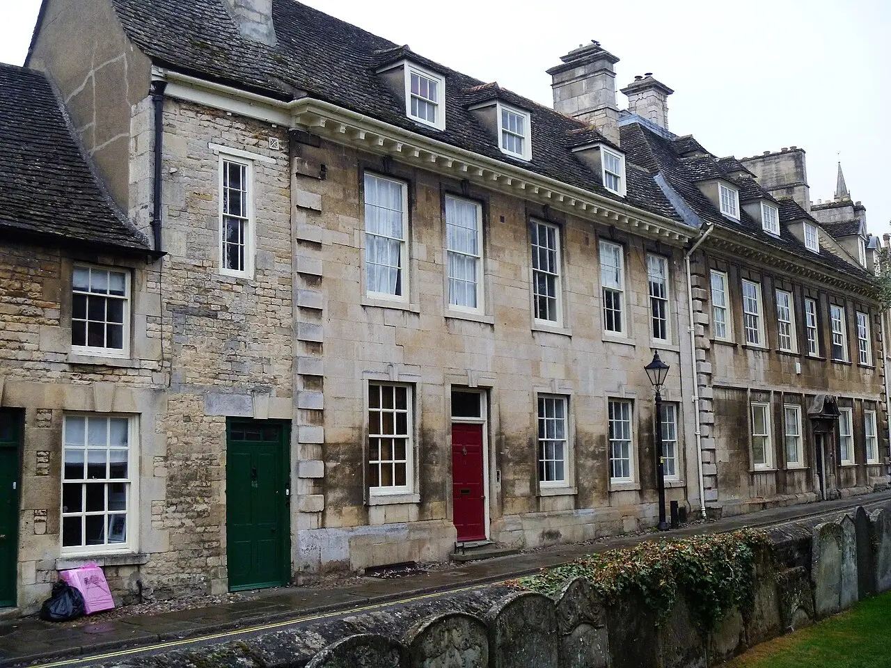
Meryton
See the locationOpen in Google Maps ↗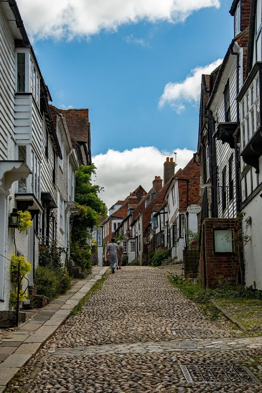
Meryton streets in the Netflix adaptation
See the locationOpen in Google Maps ↗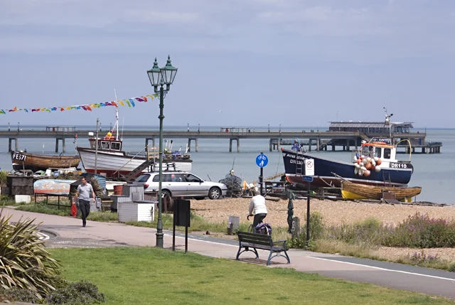
Brighton seafront in the Netflix adaptation
See the locationOpen in Google Maps ↗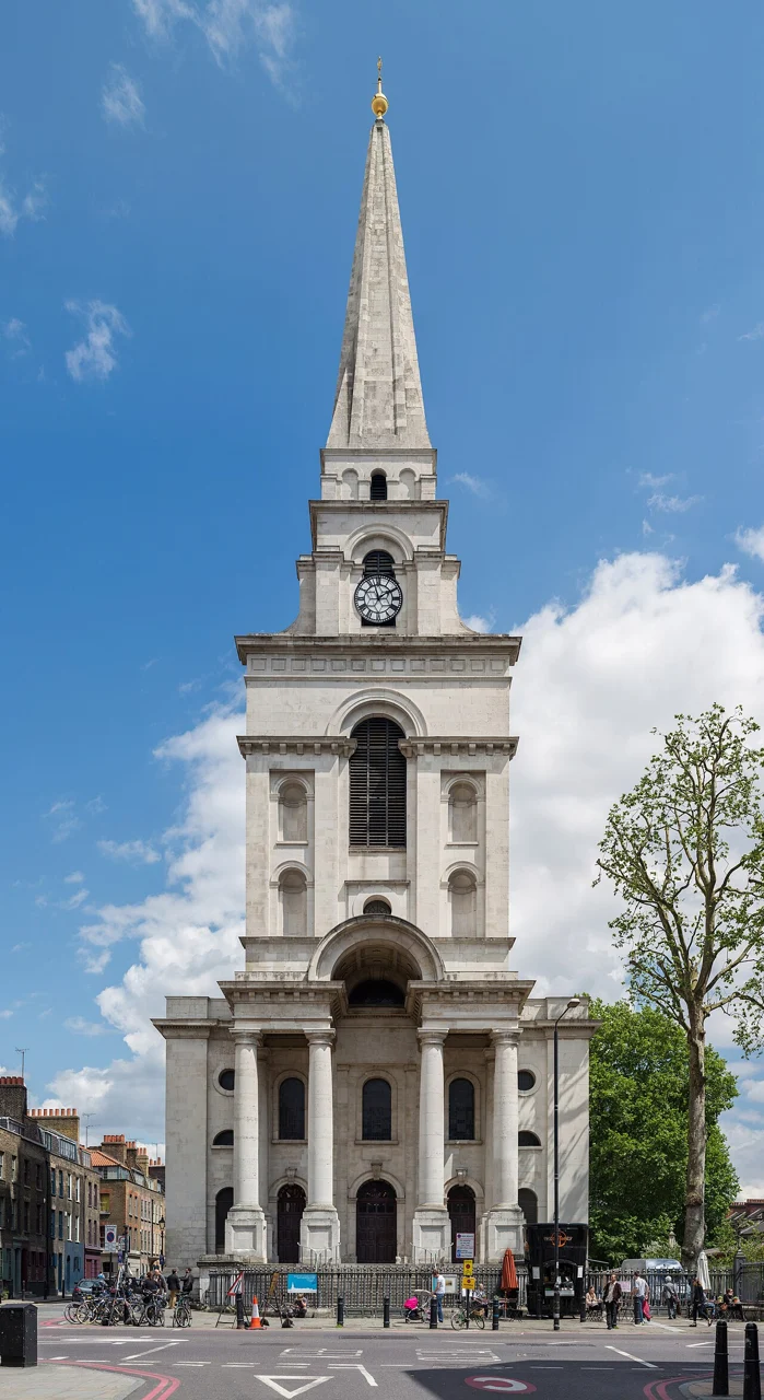
London street filming for the Netflix adaptation
See the locationOpen in Google Maps ↗These places are private, too broad to pin, or have no public visitor entrance. Their pages explain what can be seen responsibly.
Longbourn, Bennet family home · Private home
Longbourn, Bennet home · Restricted; no public visit arranged