
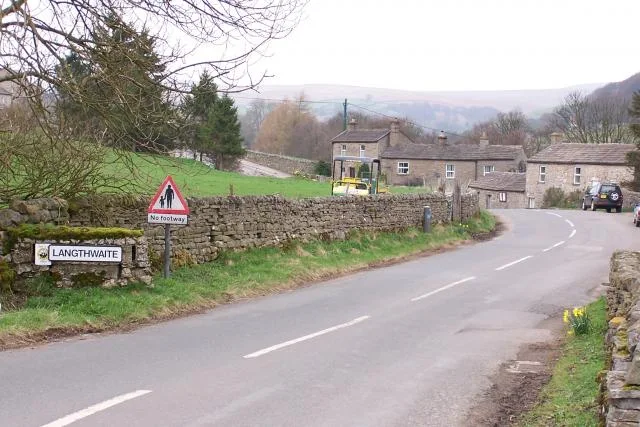
Swaledale and Arkengarthdale · Public paths and viewpoints
Arkengarthdale and Booze Moor
open moorland landscapes around the fictional Yorkshire setting
See the locationOpen in Google Maps ↗Public places only
Every Wuthering Heights location you can visit, on one map. Private homes, farms and working sites are not shown.
Pins mark the named public place or visitor entrance, not a camera position. Map data © OpenStreetMap contributors.
Accessible alternative
open moorland landscapes around the fictional Yorkshire setting
See the locationOpen in Google Maps ↗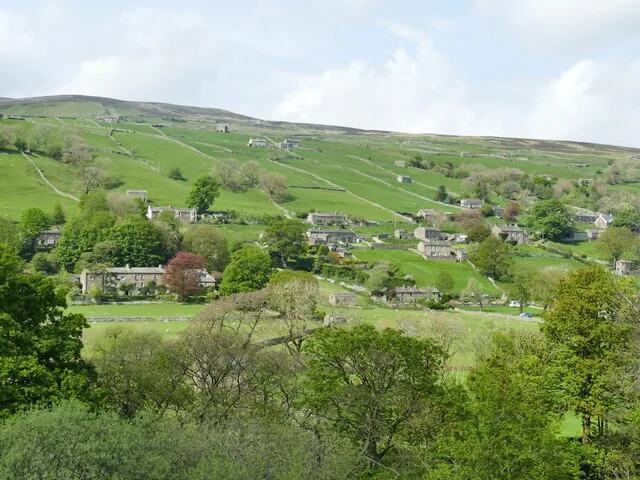
village and valley landscapes for the 2026 film
See the locationOpen in Google Maps ↗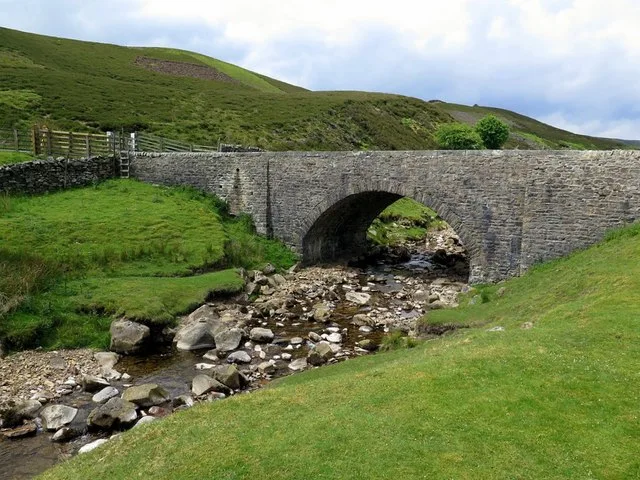
moorland approach and track used in the 2026 production
See the locationOpen in Google Maps ↗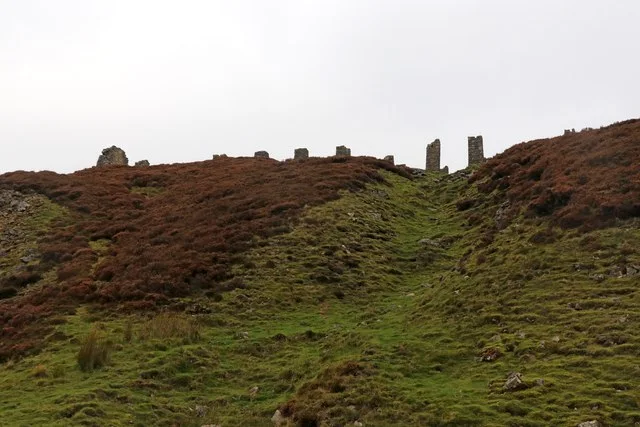
moorland track and industrial-ruin landscape in the 2026 film
See the locationOpen in Google Maps ↗Cathy’s white wedding-gown landscape scene
See the locationOpen in Google Maps ↗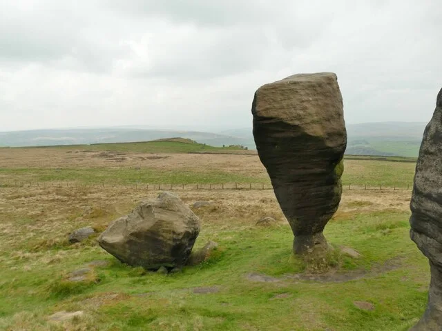
gritstone and moorland scenes for the 2026 film
See the locationOpen in Google Maps ↗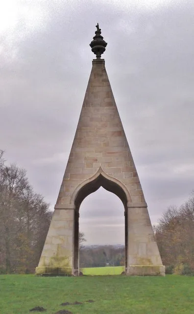
Cathy and Heathcliff’s childhood shelter and adult reunion
See the locationOpen in Google Maps ↗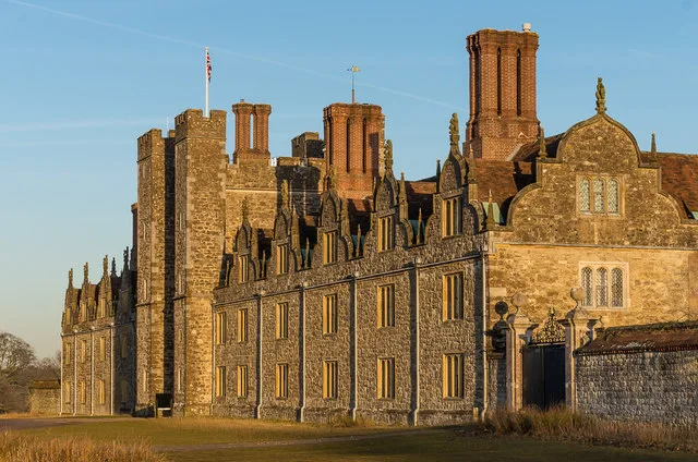
opening scenes of the 2026 film
See the locationOpen in Google Maps ↗