
Confirmed · Swaledale and Arkengarthdale · Attraction
Arkengarthdale and Booze Moor
open moorland landscapes around the fictional Yorkshire setting in Wuthering Heights. Public paths and viewpoints; allow allow 1–2 hours.
- On screen as
- open moorland landscapes around the fictional Yorkshire setting
- Series and episodes
- Film (2026) · Film (2026)
- Access
- Public paths and viewpoints
- Time needed
- Allow 1–2 hours
- Where
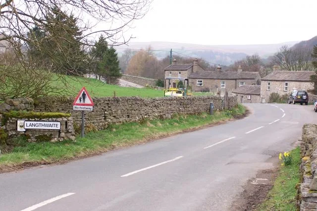
- Langthwaite
On screen
How Arkengarthdale and Booze Moor appears
Arkengarthdale forms part of the outdoor geography of Emerald Fennell’s 2026 film. Visit North Yorkshire identifies Booze Moor among the production’s exposed landscapes, while Visit Calderdale also names the wider dale. These are real North Yorkshire places used to evoke the fictional Yorkshire world of Cathy and Heathcliff. The evidence supports a landscape connection rather than a public farmhouse that visitors can enter. Begin with that distinction: a journey here is a walk in the film’s terrain, with no expectation of finding the complete screen house.
The real place
What you can visit
Langthwaite provides a public village approach to Arkengarthdale, with lanes and walking routes leading into the surrounding countryside. Booze Moor itself is not accessible by car, according to the destination guide. Keep a village visit separate from any longer moorland expedition, and choose a route that suits the weather and your navigation skills. The map points to Langthwaite as the visitor approach to this broad filming landscape. It does not identify an individual barn, home, or precise camera position. Farm traffic and residents need access through these narrow lanes throughout the year.
Choose a turnaround point before leaving Langthwaite, and return early if cloud lowers across your route. A short public-road view can be a complete visit. It is better to enjoy the dale in daylight than stretch an outing into an unfamiliar, unlit descent. Do not follow a photograph towards private farm buildings.
Visit North Yorkshire ↗There is no railway station in Arkengarthdale. Use Reeth as a planning base and pre-book local community transport where available; DalesBus lists the Reeth and District demand-responsive service. Drivers should use a lawful village space without blocking bridges, gates or passing places. Allow at least an hour for a modest village-and-lane visit, with considerably longer for a planned hill walk. Carry waterproofs and an offline map; snow, strong wind and low cloud can make the exposed roads unsuitable.
Common questions
Planning a responsible visit
Is Booze Moor a drive-through location?
No. The destination guide says the moor is not accessible by car. Use the public village approach and a mapped walking route.
Is the screen farmhouse open here?
This page covers the landscape only. Private farm buildings are excluded from visitor stops.
Can I arrive without a car?
Plan via Reeth and book suitable community transport in advance; the valley has no railway station.
Plan your visit
Build it into the day.
Combine Langthwaite with Low Row only if road conditions and daylight allow. Surrender Bridge and Old Gang belong on a separate, properly timed walk rather than a hurried sequence of roadside photographs.
Booking.com links are paid links: we may earn a small commission at no extra cost to you.
Map
Days out including this place
Continue with a prepared day out
Nearby
Continue through Swaledale and Arkengarthdale
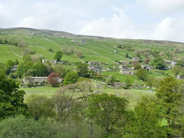
Low Row and Swaledale
village and valley landscapes for the 2026 film
See the location →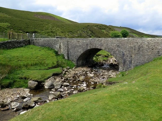
Surrender Bridge
moorland approach and track used in the 2026 production
See the location →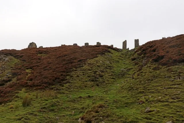
Old Gang Smelt Mill and track
moorland track and industrial-ruin landscape in the 2026 film
See the location →Bouldershaw Lane
Cathy’s white wedding-gown landscape scene
See the location →Material corrections and access updates