
Confirmed · Swaledale and Arkengarthdale · Attraction
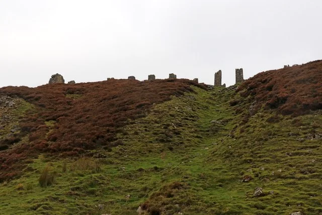
Old Gang Smelt Mill and track
moorland track and industrial-ruin landscape in the 2026 film in Wuthering Heights. Public paths and viewpoints; allow allow a half day.
- On screen as
- moorland track and industrial-ruin landscape in the 2026 film
- Series and episodes
- Film (2026) · Film (2026)
- Access
- Public paths and viewpoints
- Time needed
- Allow a half day
- Where
- Swaledale
On screen
How Old Gang Smelt Mill and track appears
The track from Surrender Bridge towards Old Gang is explicitly identified by Visit North Yorkshire as a filming area for Emerald Fennell’s Wuthering Heights. The industrial remains and open route form part of the real landscape used around the fictional story. These are historical industrial ruins along the filming walk; the guide makes no claim that they supplied the Earnshaw family’s domestic interiors. Walking here allows you to see the scale of the outdoor setting while keeping the film’s constructed domestic spaces separate from the surviving archaeology.
The real place
What you can visit
Old Gang is a former lead-mining landscape, with substantial ruins and tracks rather than a furnished house attraction. The interest lies in how the remains sit within the moor and beck valley. Keep to the recognised route and view masonry from stable ground; do not climb walls or enter openings in search of a camera angle. A photograph of the ruin is a photograph of industrial history, even when the film gives the surrounding landscape a new association. Take time to read the National Park route description before deciding how far to continue.
Plan the return before exploring beyond the ruins. Photograph the buildings from the route, leaving walls and mine workings alone, and avoid shortcuts across damaged ground. Boots with grip matter more than trying to reproduce the characters’ clothing. Keep dogs under control around livestock and sensitive moorland.
Visit North Yorkshire ↗Start from the limited rough parking at Surrender Bridge. The National Park Access Hub describes the opening 3km towards the mill as a compacted track at least 2m wide, with a steepest gradient of 1:10; later ground is more undulating. This is not a level pavement or an all-weather guarantee. Use Reeth toilets first. Budget a half day for an unhurried return outing, with waterproofs, water and an offline map. Turn back if wind, ice or visibility makes the route uncomfortable.
Common questions
Planning a responsible visit
Is Old Gang the real Wuthering Heights house?
The confirmed connection is the filming landscape and approach track. The surviving mill is an industrial ruin.
Is the walk step-free?
The opening route is surfaced but includes gradients and loose material. Assess the Access Hub route against your own mobility needs.
How much time should I allow?
A half-day return outing is a sensible planning allowance, adjusted for your pace and weather.
Plan your visit
Build it into the day.
Surrender Bridge is the natural paired stop. Low Row supplies a separate village visit and refreshment opportunity, while Reeth makes a practical overnight base. Do not add a distant Yorkshire or Kent location to the same walking day.
Booking.com links are paid links: we may earn a small commission at no extra cost to you.
Map
Days out including this place
Continue with a prepared day out
Nearby
Continue through Swaledale and Arkengarthdale
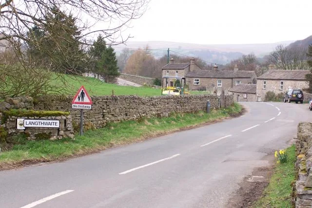
Arkengarthdale and Booze Moor
open moorland landscapes around the fictional Yorkshire setting
See the location →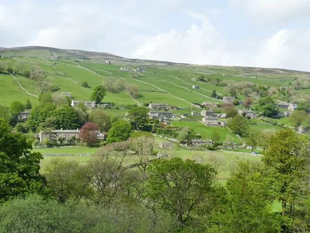
Low Row and Swaledale
village and valley landscapes for the 2026 film
See the location →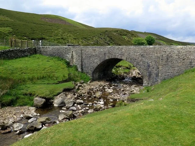
Surrender Bridge
moorland approach and track used in the 2026 production
See the location →Bouldershaw Lane
Cathy’s white wedding-gown landscape scene
See the location →Material corrections and access updates