
Confirmed · Swaledale and Arkengarthdale · Attraction
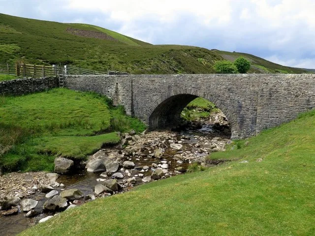
Surrender Bridge
moorland approach and track used in the 2026 production in Wuthering Heights. Public paths and viewpoints; allow allow 15–30 minutes.
- On screen as
- moorland approach and track used in the 2026 production
- Series and episodes
- Film (2026) · Film (2026)
- Access
- Public paths and viewpoints
- Time needed
- Allow 15–30 minutes
- Where
- Near Low Row
On screen
How Surrender Bridge appears
Visit North Yorkshire names the stretch from Surrender Bridge towards Old Gang as a significant filming area for the 2026 adaptation. The bridge belongs to the real Swaledale road and walking network; on screen, the surrounding route helps construct the story’s more isolated Yorkshire landscape. This is a place to recognise the approach and terrain, rather than expect a retained set. The bridge and the mill are separate stops on the same outing, and each is described here according to what can actually be reached by a visitor.
The real place
What you can visit
The public road crosses the beck beside the start of the Old Gang walking route. Treat the bridge as transport infrastructure as well as a scenic stop: cars, cyclists and walkers must be able to pass. Informal roadside parking is limited and does not have the capacity of a visitor-centre car park. The surrounding moor is exposed, with few services once you leave the road. Looking along the beck from a safe standing place offers a quieter visit than trying to stand in the road for a replica film photograph.
Arrive with food, water and the route already downloaded. If every informal space is occupied, continue to an appropriate place rather than creating another parking row on the verge. The film connection does not give permission to drive onto tracks, cross walls or stop in a passing place.
Visit North Yorkshire ↗The National Park describes the approach from Reeth via Healaugh and the road towards Langthwaite. Parking is on rough ground near the bridge; keep the road, gateways and passing places clear. There are no toilets at the starting point, so use Reeth before setting out. No regular rail link reaches the bridge. Allow 15–30 minutes for the bridge itself, and a separate half-day allowance if walking towards Old Gang. In fog, snow or ice, abandon the high-road detour.
Common questions
Planning a responsible visit
Can I park beside the bridge?
There is limited rough roadside space, not a large formal car park. Leave access clear and move on if it is full.
Does this visit require a long walk?
The bridge can be a short stop. Reaching Old Gang is a separate walking commitment.
Are there toilets here?
Use Reeth before the moorland outing; do not plan on facilities at the bridge.
Plan your visit
Build it into the day.
Pair the bridge with Old Gang Smelt Mill on foot. Bouldershaw Lane is nearby, but add it only when you have a safe walking plan; these narrow roads should not be treated as a sequence of pull-in photo bays.
Booking.com links are paid links: we may earn a small commission at no extra cost to you.
Map
Days out including this place
Continue with a prepared day out
Nearby
Continue through Swaledale and Arkengarthdale
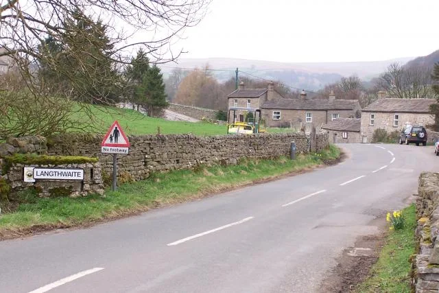
Arkengarthdale and Booze Moor
open moorland landscapes around the fictional Yorkshire setting
See the location →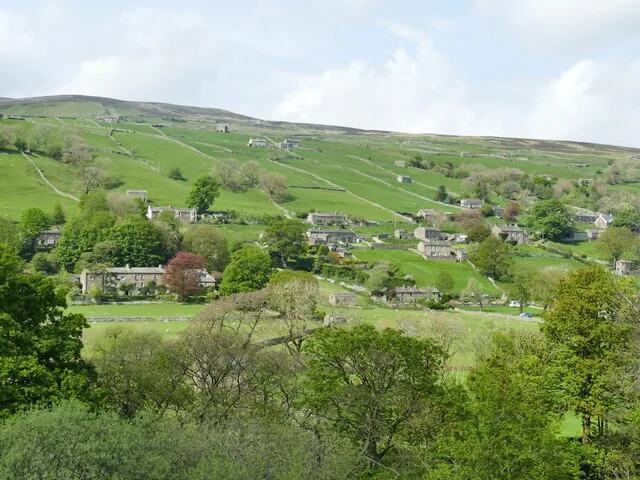
Low Row and Swaledale
village and valley landscapes for the 2026 film
See the location →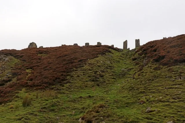
Old Gang Smelt Mill and track
moorland track and industrial-ruin landscape in the 2026 film
See the location →Bouldershaw Lane
Cathy’s white wedding-gown landscape scene
See the location →Material corrections and access updates