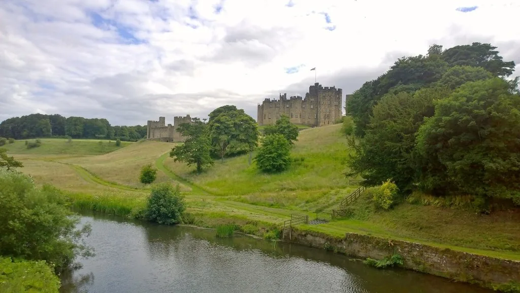
North England · Ticketed and seasonal
Alnwick Castle
Flying lessons and early Hogwarts courtyards
See the locationOpen in Google Maps ↗Public places only
Every Harry Potter location you can visit, on one map. Private homes, farms and working sites are not shown.
Pins mark the named public place or visitor entrance, not a camera position. Map data © OpenStreetMap contributors.
Accessible alternative
Flying lessons and early Hogwarts courtyards
See the locationOpen in Google Maps ↗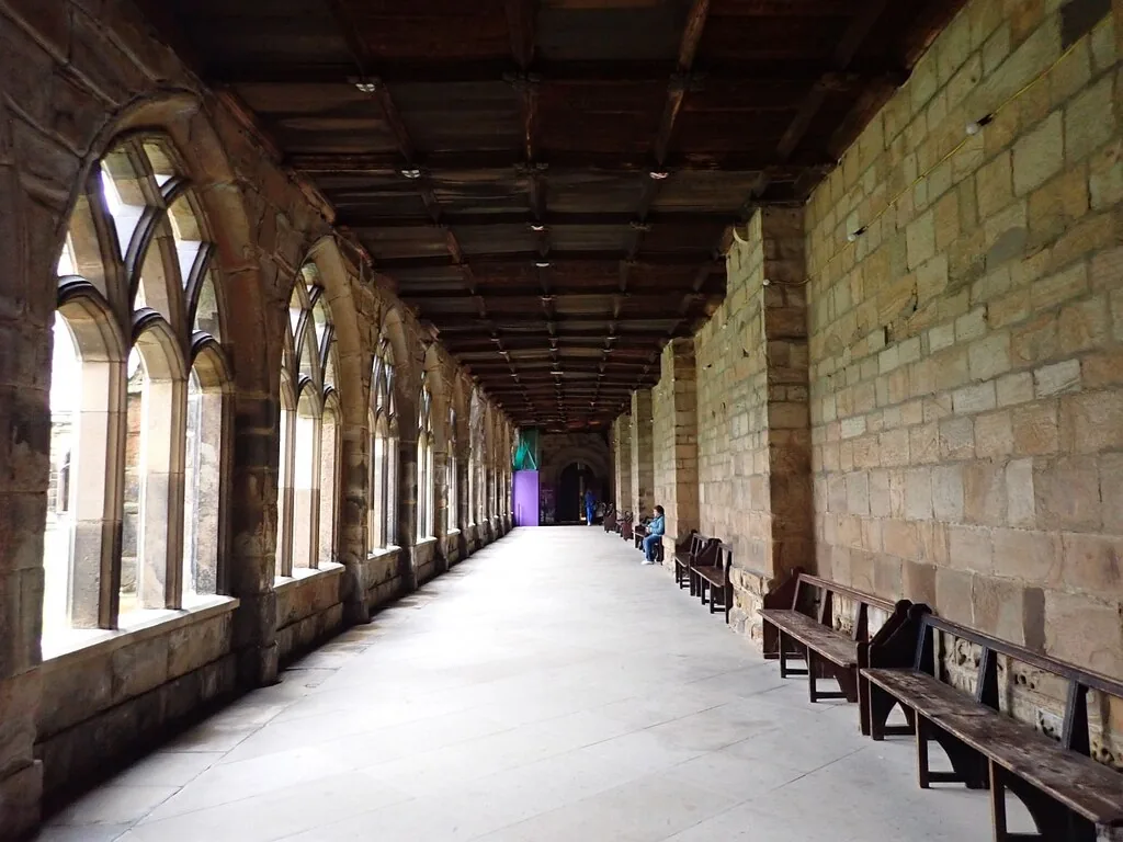
Hogwarts cloisters and McGonagall’s classroom
See the locationOpen in Google Maps ↗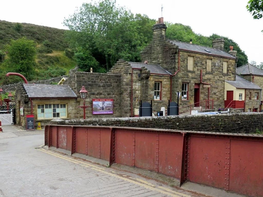
Hogsmeade Station
See the locationOpen in Google Maps ↗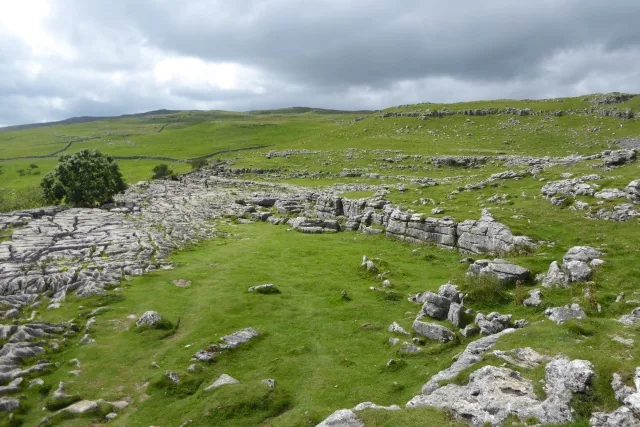
The trio’s limestone campsite
See the locationOpen in Google Maps ↗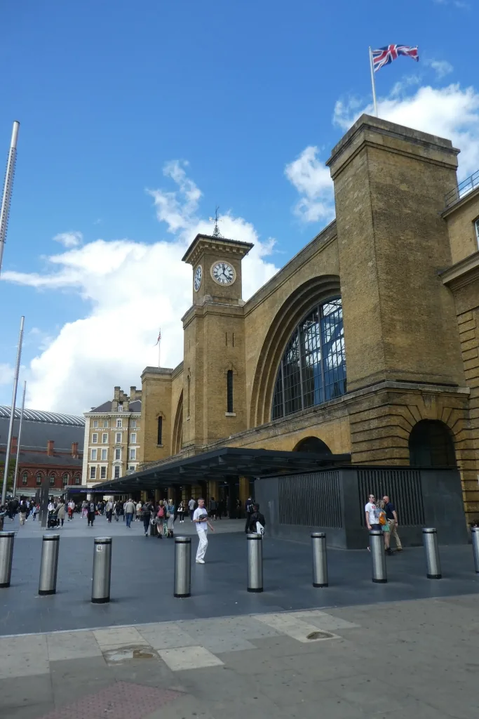
The route to Platform 9¾
See the locationOpen in Google Maps ↗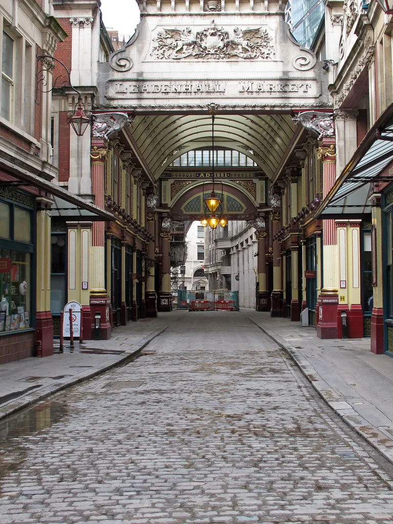
Diagon Alley and the Leaky Cauldron approach
See the locationOpen in Google Maps ↗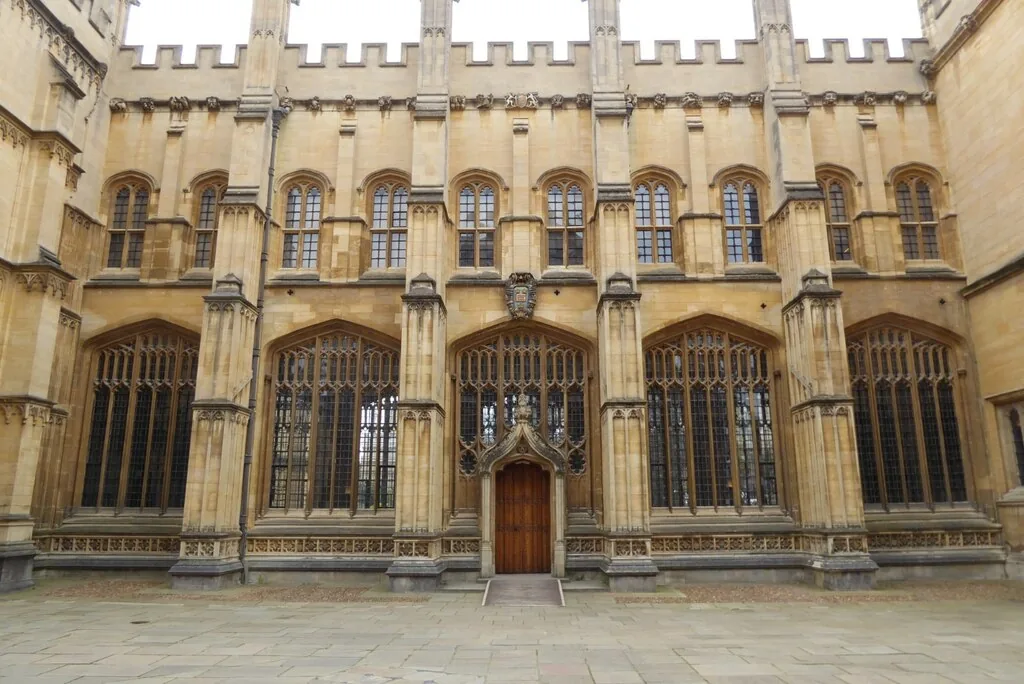
Hogwarts library and hospital wing
See the locationOpen in Google Maps ↗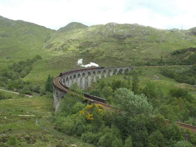
The railway journey to Hogwarts
See the locationOpen in Google Maps ↗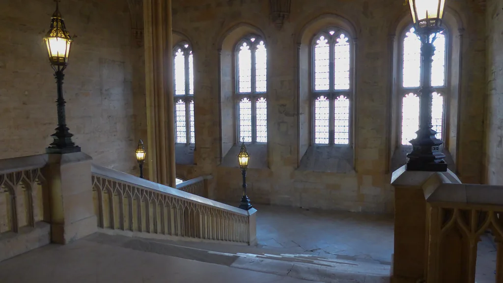
The Hogwarts arrival staircase
See the locationOpen in Google Maps ↗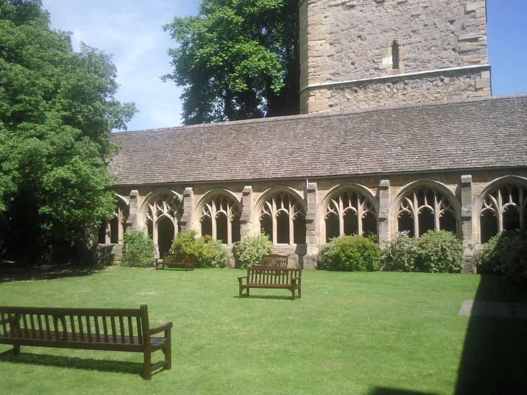
Mad-Eye Moody’s ferret lesson
See the locationOpen in Google Maps ↗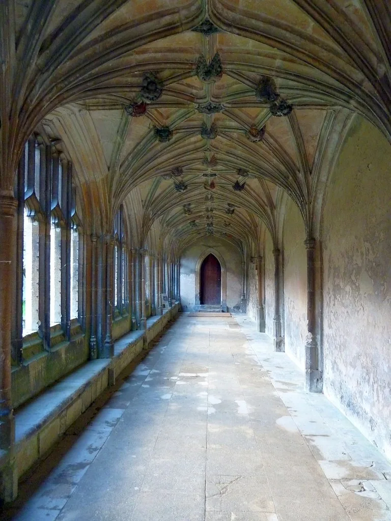
Hogwarts corridors, classrooms and village streets
See the locationOpen in Google Maps ↗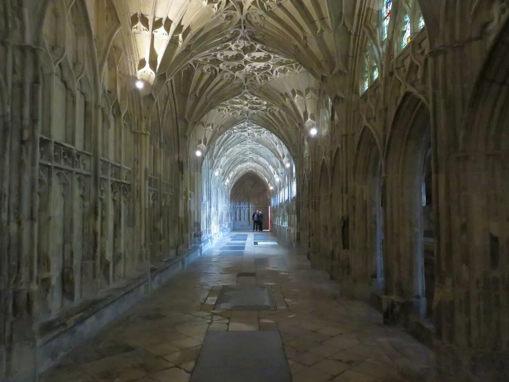
Gryffindor corridors and the writing on the wall
See the locationOpen in Google Maps ↗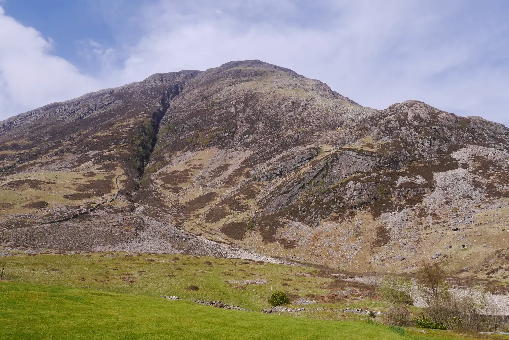
Hogwarts grounds and Hagrid’s hut landscape
See the locationOpen in Google Maps ↗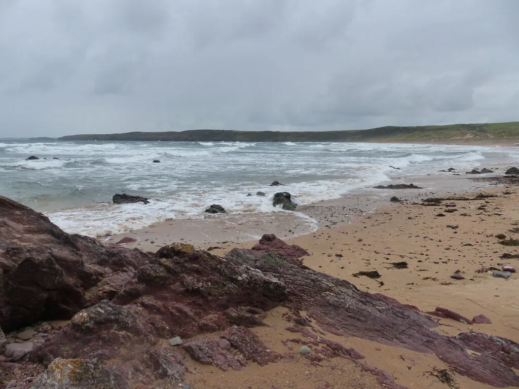
Shell Cottage and the beach farewell
See the locationOpen in Google Maps ↗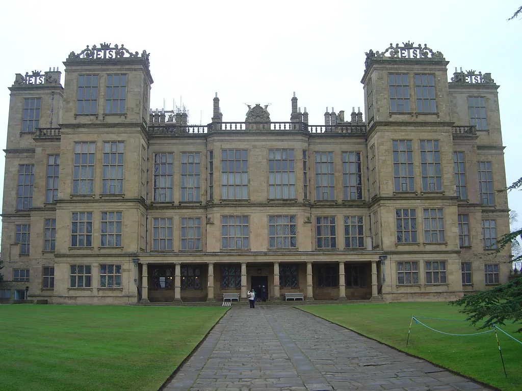
Malfoy Manor exterior
See the locationOpen in Google Maps ↗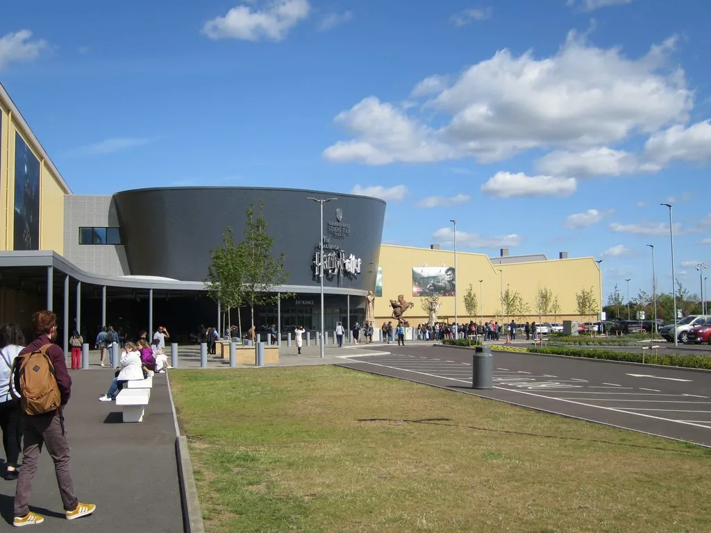
Visitor exhibition of original film sets, props and production craft
See the locationOpen in Google Maps ↗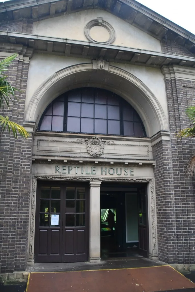
The zoo where Harry first talks to a snake
See the locationOpen in Google Maps ↗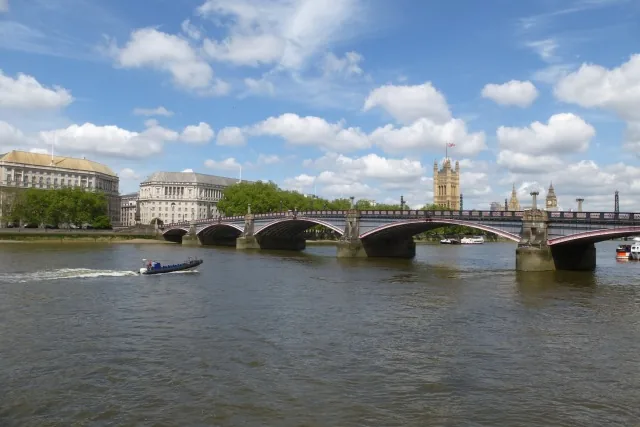
The Knight Bus route through London traffic
See the locationOpen in Google Maps ↗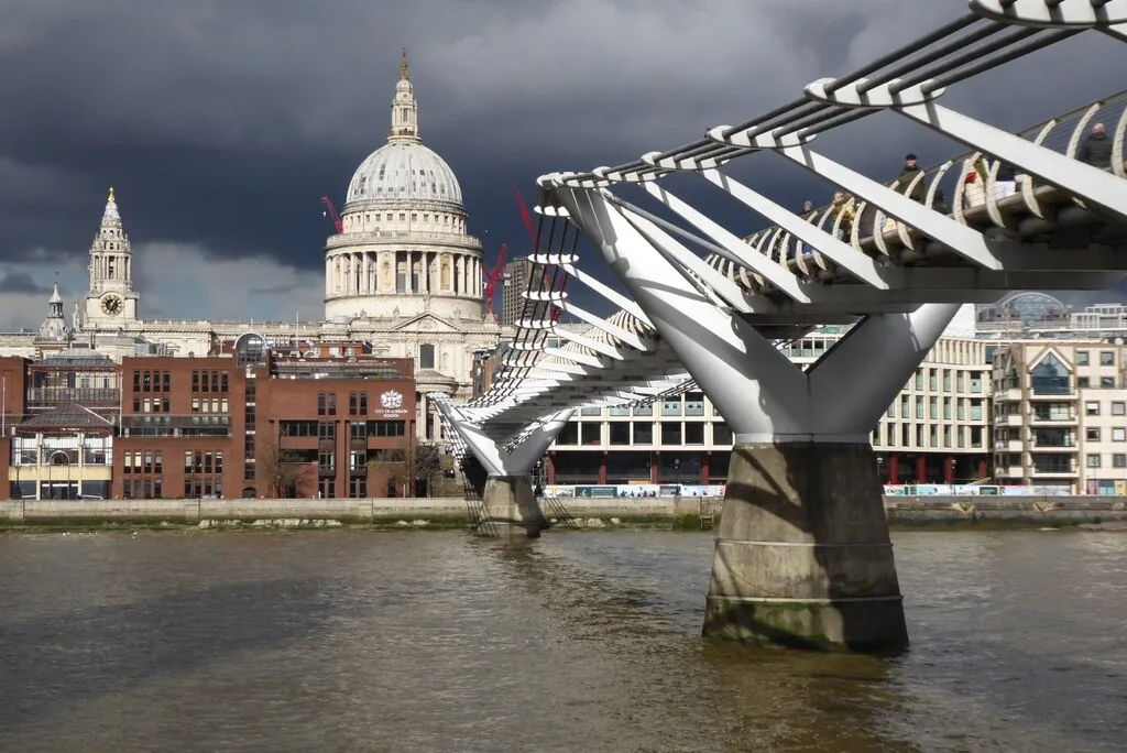
The London bridge destroyed by Death Eaters
See the locationOpen in Google Maps ↗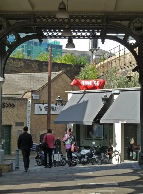
The Leaky Cauldron approach and Knight Bus stop
See the locationOpen in Google Maps ↗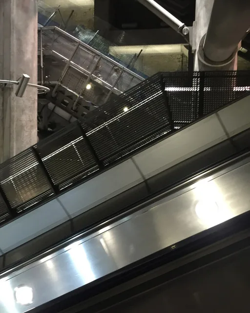
Harry and Mr Weasley’s Tube journey to the Ministry
See the locationOpen in Google Maps ↗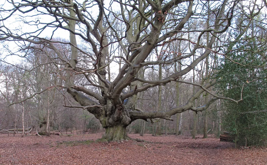
The woodland where the Portkey is found
See the locationOpen in Google Maps ↗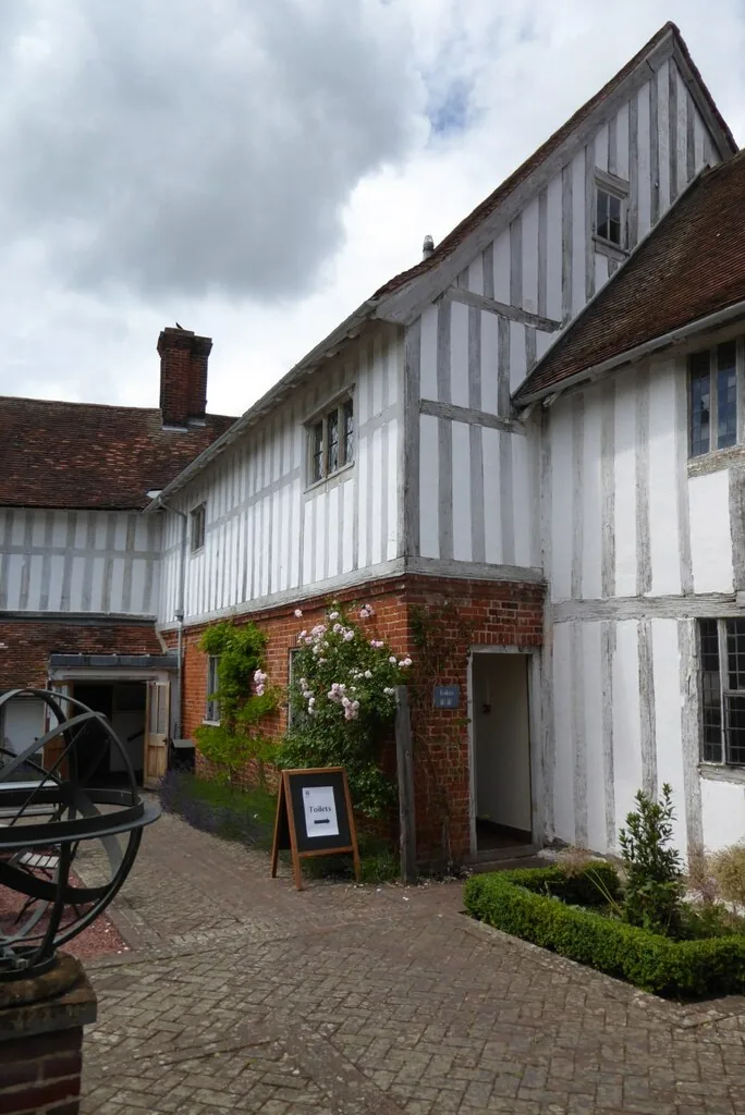
Architectural reference for Godric’s Hollow
See the locationOpen in Google Maps ↗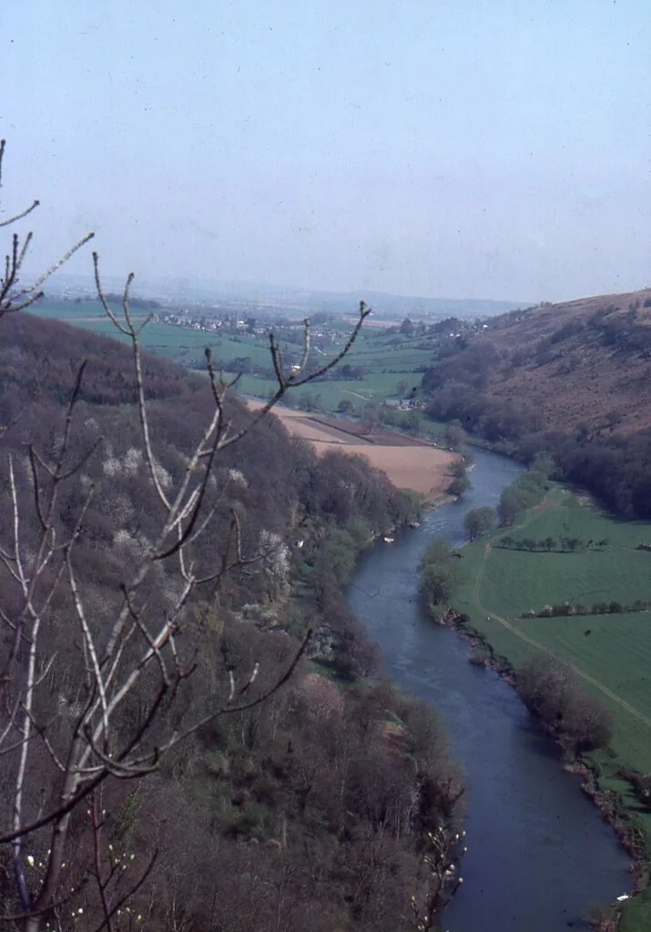
Woodland on the trio’s journey
See the locationOpen in Google Maps ↗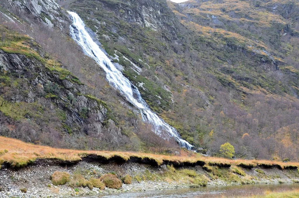
Mountain backdrop for the Triwizard dragon task
See the locationOpen in Google Maps ↗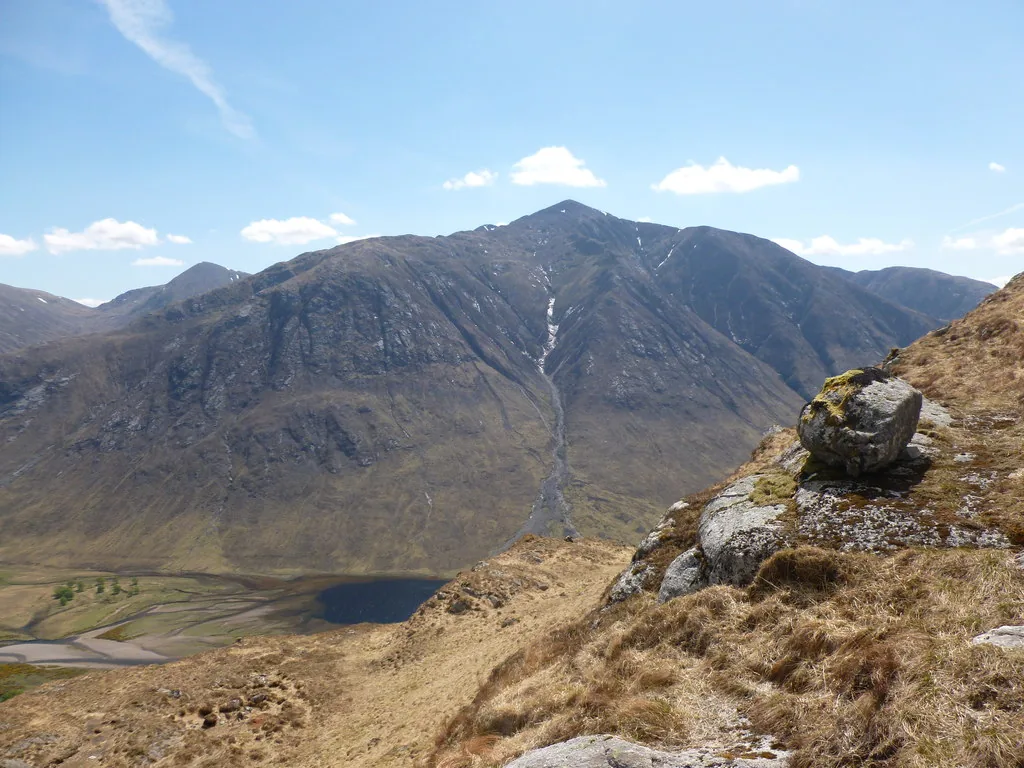
The trio’s Highland campsite
See the locationOpen in Google Maps ↗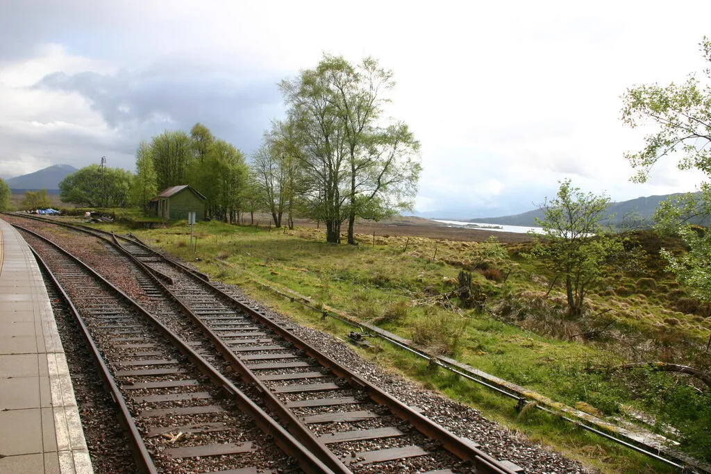
Wild moorland on the wizarding journey
See the locationOpen in Google Maps ↗