Suggested filming-location trail
Upper Wharfedale and Littondale
Grassington, Burnsall, Kettlewell and Arncliffe, with the private farm landscape kept off the pin map.
- Allow
- Full day
- Transport
- Car + short walks
- Distance
- About 37 miles / 60 km
- Stops
- 4
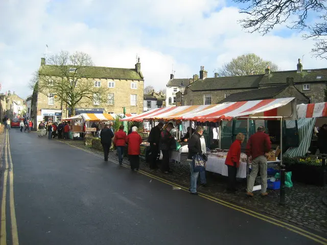
Photo: Chris Heaton / Geograph · CC BY-SA 2.0 Start hereOpen to visitorsGrassington
Begin at the public market square, where the Drovers exterior and Endleby's shopfront are close together. The Skeldale House exterior is a private home: stay in public space, do not approach the door and do not photograph into the house. For a longer outing, follow the Dales Way towards Linton Falls or continue to Burnsall.
- Time
- 1–2 hours
- Arrival
- Use Grassington National Park Centre car park or current DalesBus services.
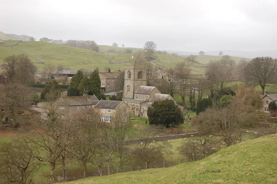
Photo: John Sparshatt / Geograph · CC BY-SA 2.0 Next stopOpen when the church is openSt Wilfrid's Church
The exterior is visible from public approaches. Enter only when the church is open and never interrupt worship or community use. The Dales Way links Burnsall with Grassington in about 3.5 miles, passing Linton Falls.
- Time
- 20 minutes
- Arrival
- Use the named public visitor entrance or village parking.
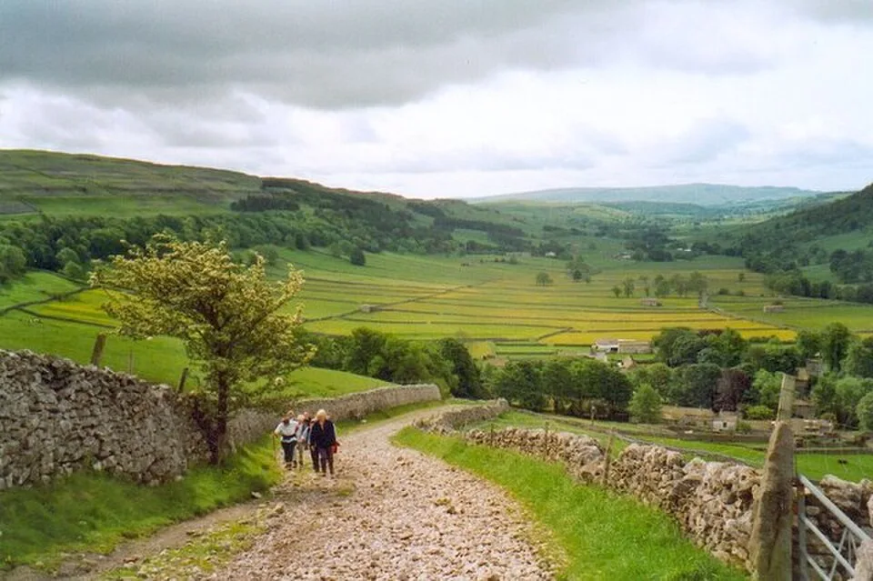
Photo: Gordon Hatton / Geograph · CC BY-SA 2.0 Next stopOpen to visitorsKettlewell and Top Mere Road
Use village streets and public rights of way. The road is part of a working rural landscape, not a closed set.
- Time
- 30–60 minutes
- Arrival
- Use the named public visitor entrance or village parking.
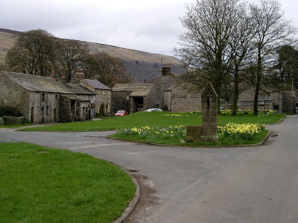
Photo: Andy Beecroft / Geograph · CC BY-SA 2.0 Last stopOpen to visitorsArncliffe
The green and public roads can be visited. The rear-yard filming area is private and is not mapped.
- Time
- 20–40 minutes
- Arrival
- Use the named public visitor entrance or village parking.
Route source
Distance and route details come from the linked tourism or route source; Google Maps is provided for live directions.
Open source ↗