Suggested filming-location trail
Malham day
Use Malham village as the safe base for Malham Lings, Janet's Foss and Malham Cove; the road scene is context only.
- Allow
- 4–6 hours
- Transport
- Walking
- Distance
- About 5 miles / 8 km
- Stops
- 2
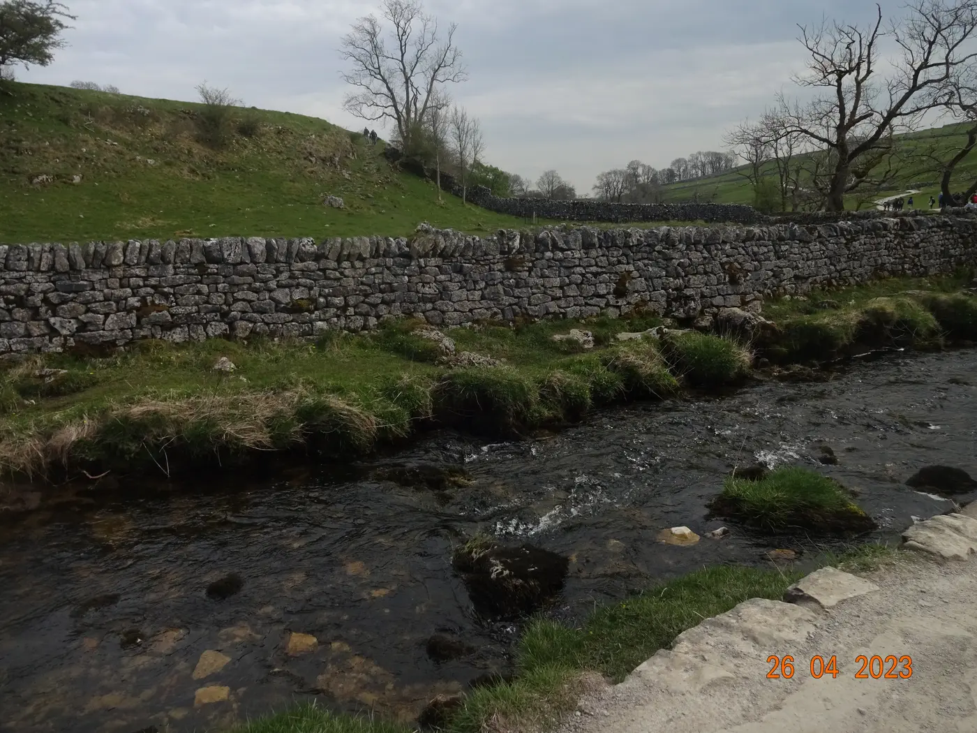
Photo: lasagna165 / Wikimedia Commons · CC BY-SA 4.0 Start hereOpen to visitorsMalham
Base the visit in Malham and use signed paths. Do not stop at the crossroads; it is included as story context, not as a photo stop.
- Time
- Half day
- Arrival
- Use the named public visitor entrance or village parking.
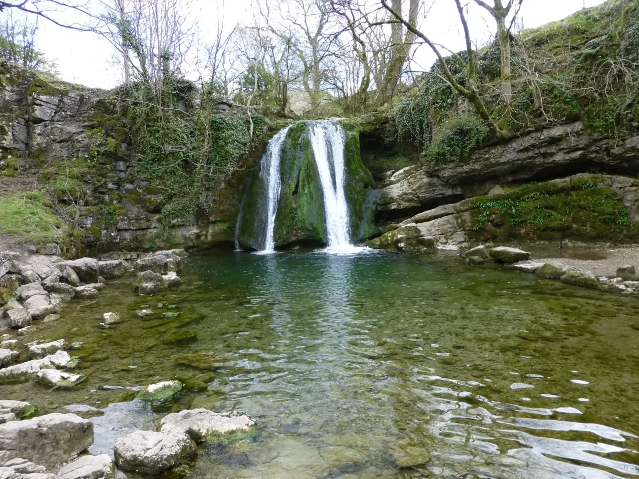
Photo: Russel Wills / Geograph · CC BY-SA 2.0 Last stopOpen to visitorsJanet's Foss
Follow the public footpath from Malham. The route can be muddy and the rocks around the falls are slippery.
- Time
- 60–90 minutes return
- Arrival
- Use the named public visitor entrance or village parking.
Route source
Distance and route details come from the linked tourism or route source; Google Maps is provided for live directions.
Open source ↗